Moulis, Ariège
Moulis is a commune in the Ariège department in southwestern France.
Moulis | |
|---|---|
 Looking across the Lez valley from the Cap de la Pène | |
Location of Moulis 
| |
 Moulis 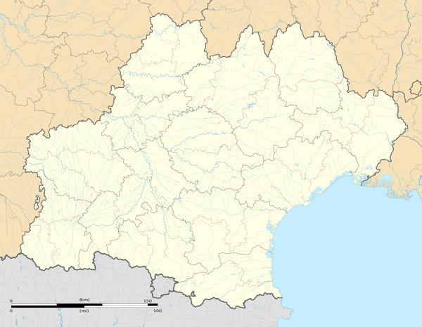 Moulis | |
| Coordinates: 42°57′43″N 1°05′30″E | |
| Country | France |
| Region | Occitanie |
| Department | Ariège |
| Arrondissement | Saint-Girons |
| Canton | Couserans Ouest |
| Intercommunality | Saint-Girons |
| Government | |
| • Mayor (2008–2014) | Aimé Galey |
| Area 1 | 36.55 km2 (14.11 sq mi) |
| Population (2017-01-01)[1] | 761 |
| • Density | 21/km2 (54/sq mi) |
| Time zone | UTC+01:00 (CET) |
| • Summer (DST) | UTC+02:00 (CEST) |
| INSEE/Postal code | 09214 /09200 |
| Elevation | 412–1,608 m (1,352–5,276 ft) (avg. 432 m or 1,417 ft) |
| 1 French Land Register data, which excludes lakes, ponds, glaciers > 1 km2 (0.386 sq mi or 247 acres) and river estuaries. | |
Geography
Moulis is situated on the D618 road, which follows the Lez river valley from Castillon-en-Couserans to Saint Girons. Either side of the Lez valley, the land surface of the commune rises steeply to forested mountains, giving a height difference of 1200 m between the lowest point of the commune and the highest.
Population
The inhabitants of Moulis are known as Moulisiens.
| Year | Pop. | ±% |
|---|---|---|
| 1962 | 1,010 | — |
| 1968 | 1,013 | +0.3% |
| 1975 | 847 | −16.4% |
| 1982 | 828 | −2.2% |
| 1990 | 798 | −3.6% |
| 1999 | 759 | −4.9% |
| 2008 | 793 | +4.5% |
Much of the population is grouped in the villages of Moulis, Luzenac, Aubert and Pouech, all of which are in the Lez valley. The rest of the population is dispersed in small hamlets or isolated farms across the commune.
See also
References
- "Populations légales 2017". INSEE. Retrieved 6 January 2020.
| Wikimedia Commons has media related to Moulis (Ariège). |
| Authority control |
|
|---|
This article is issued from Wikipedia. The text is licensed under Creative Commons - Attribution - Sharealike. Additional terms may apply for the media files.