Aleu
Aleu is a commune in the Ariège department in the Occitanie region of southwestern France.
Aleu | |
|---|---|
 The road into Aleu | |
Location of Aleu 
| |
 Aleu 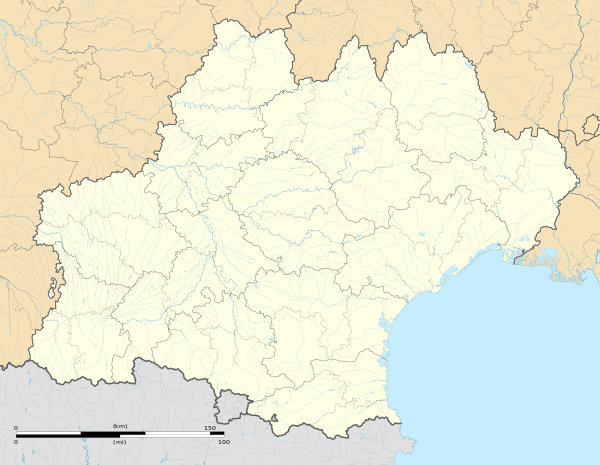 Aleu | |
| Coordinates: 42°53′37″N 1°16′01″E | |
| Country | France |
| Region | Occitanie |
| Department | Ariège |
| Arrondissement | Saint-Girons |
| Canton | Couserans Est |
| Intercommunality | Couserans-Pyrénées |
| Government | |
| • Mayor (2014-2020) | André Vidal |
| Area 1 | 13.95 km2 (5.39 sq mi) |
| Population (2017-01-01)[1] | 130 |
| • Density | 9.3/km2 (24/sq mi) |
| Time zone | UTC+01:00 (CET) |
| • Summer (DST) | UTC+02:00 (CEST) |
| INSEE/Postal code | 09005 /09320 |
| Elevation | 496–1,105 m (1,627–3,625 ft) (avg. 700 m or 2,300 ft) |
| 1 French Land Register data, which excludes lakes, ponds, glaciers > 1 km2 (0.386 sq mi or 247 acres) and river estuaries. | |
The inhabitants of the commune are known as Aleudiens or Aleudiennes[2]
Geography


Aleu is located some 10 km south-east of Saint-Girons and 30 km west by south-west of Foix. It can be accessed by the D618 road coming from the west and following the northern border of the commune continuing to Biert in the east. The only access to the village by vehicle is by a small mountain road branching from the D618 at Castet d'Aleu. There is a small unsealed airstrip north-east of the village at approx 1000m altitude. The commune is very rugged with extensive forests. Apart from the village, there are numerous hamlets: Castet d'Aleu, Galas d'en Bas and Galas d'en Haut, La Trappe, La Bordasse, Biech, Pinsou, La Rouere and Fontale.[3]
The Ruisseau d'Aleu rises in the south of the commune and flows north through the centre of the commune and the village gathering many tributaries and continues to join the Arac which forms the entire northern border of the commune. The Ruisseau de Loule forms most of the eastern border and also flows into the Arac. In the west the Ruisseau de Regude forms most of the border and flows north-west to join the Arac north-west of the commune.[3]
Neighbouring communes and villages[3]
Places adjacent to Aleu | ||||||||||
|---|---|---|---|---|---|---|---|---|---|---|
| ||||||||||
History
The commune of Aleu was created in the French Revolution superseding the Community of Aleu which was detached in 1776 from that of Soulan.
Administration
List of successive mayors[4]
| From | To | Name | Party | Position |
|---|---|---|---|---|
| 2001 | 2008 | Louis Gilabert | ||
| 2008 | Current | André Vidal |
(Not all data is known)
Population
| Year | Pop. | ±% |
|---|---|---|
| 2006 | 141 | — |
| 2007 | 144 | +2.1% |
| 2008 | 146 | +1.4% |
| 2009 | 151 | +3.4% |
| 2010 | 152 | +0.7% |
| 2011 | 142 | −6.6% |
| 2012 | 134 | −5.6% |
| 2013 | 125 | −6.7% |
| 2014 | 122 | −2.4% |
| 2015 | 122 | +0.0% |
| 2016 | 126 | +3.3% |


Sites and monuments


- Joubac, a small peak just above Aleu, has an altiport with a view of all the surrounding mountains and the Mont Valier mountain chain[5]
- The Church of Saint Benedict contains a 12th-century font

- Church of Saint Roch and Saint Germaine at Castet d'Aleu (windows from the 19th century)
- Castelet of Castet at Aleu dating from the 12th or 13th century
Notable people linked to the commune
- Léopold Galy, born in Aleu on 12 March 1908 and died at Toulouse on 17 February 2001, was a French aviator and test pilot
See also
Notes and references
Notes
References
- "Populations légales 2017". INSEE. Retrieved 6 January 2020.
- Inhabitants of Ariège (in French)
- Google Maps
- List of Mayors of France
- LE PANORAMA DE JOUBAC, (in French)
- Ministry of Culture, Palissy PM09000003 Bénitier (in French)

External links
- Aleu on the old IGN website (in French)
- Aleu on Lion1906
- Aleu on Géoportail, National Geographic Institute (IGN) website (in French)
- Aleu on the 1750 Cassini Map
| Wikimedia Commons has media related to Aleu. |