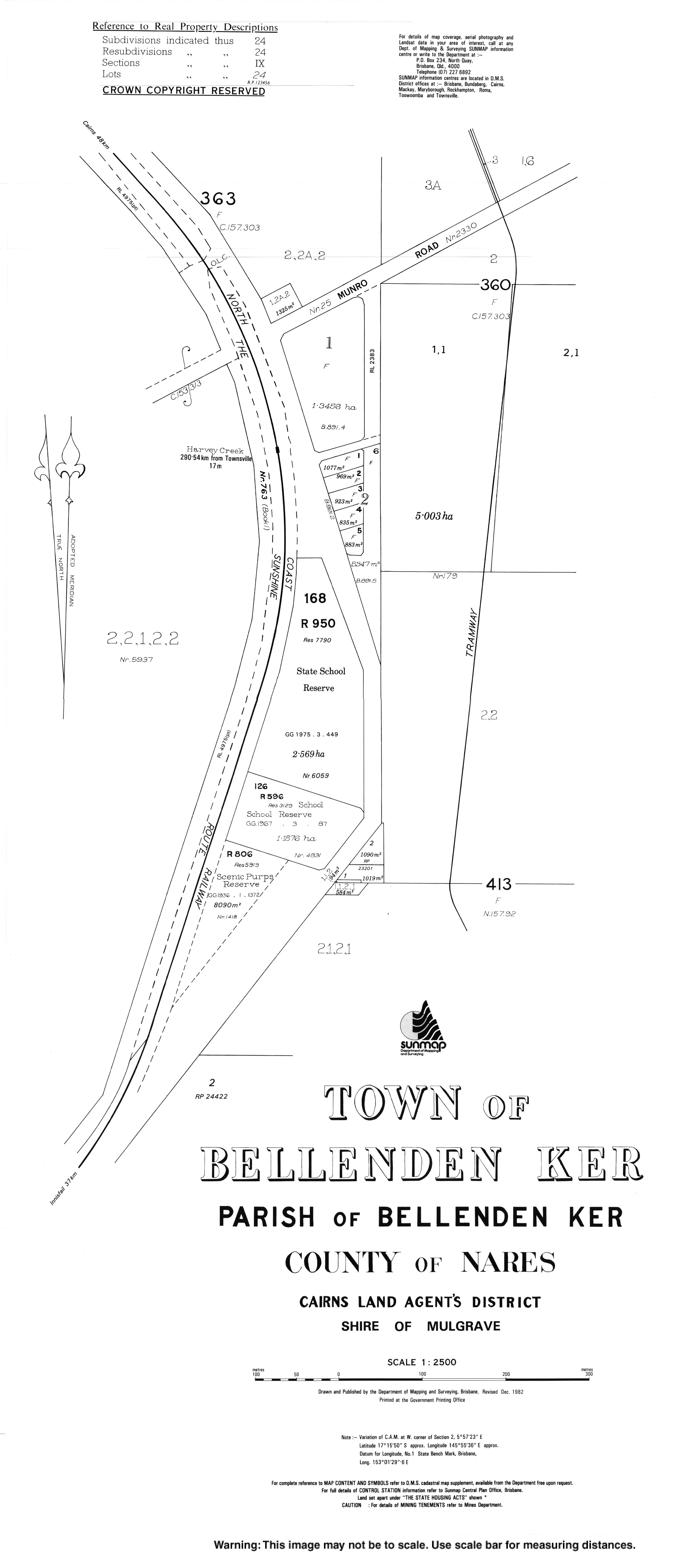
Bellenden Ker, Queensland
Bellenden Ker is a town and a locality in the Cairns Region, Queensland, Australia.[2][3] In the 2016 census, Bellenden Ker had a population of 252 people.[1]
| Bellenden Ker Queensland | |||||||||||||||
|---|---|---|---|---|---|---|---|---|---|---|---|---|---|---|---|
 Looking from Telecom Road in the locality of Bellenden Ker toward the mountain summit, 2018 | |||||||||||||||
 Bellenden Ker | |||||||||||||||
| Coordinates | 17.2611°S 145.9252°E | ||||||||||||||
| Population | 252 (2016 census)[1] | ||||||||||||||
| • Density | 7.900/km2 (20.46/sq mi) | ||||||||||||||
| Postcode(s) | 4871 | ||||||||||||||
| Area | 31.9 km2 (12.3 sq mi) | ||||||||||||||
| LGA(s) | Cairns Region | ||||||||||||||
| State electorate(s) | Hill | ||||||||||||||
| Federal Division(s) | Kennedy | ||||||||||||||
| |||||||||||||||
History
%2C_2018.jpg)
Bellenden Ker Memorial Hall, opened 1936
Bellenden Ker State School opened on 14 August 1922.[4]

Sugar cane farming, Bellenden Ker, 2018
Bellenden Ker Post Office opened on 1 July 1936 and closed on 23 November 1974.[5]
In the 2011 census, Bellenden Ker had a population of 475 people.[6]
References
- Australian Bureau of Statistics (27 June 2017). "Bellenden Ker (SSC)". 2016 Census QuickStats. Retrieved 10 May 2018.

- "Bellenden Ker - town in Cairns Region (entry 2180)". Queensland Place Names. Queensland Government. Retrieved 28 July 2017.
- "Bellenden Ker - locality in Cairns Region (entry 48522)". Queensland Place Names. Queensland Government. Retrieved 28 July 2017.
- "Opening and closing dates of Queensland Schools". Queensland Government. Retrieved 18 April 2019.
- "Bellenden Ker". Post Office Reference. Premier Postal. Retrieved 28 June 2017.
- Australian Bureau of Statistics (31 October 2012). "Bellenden Ker". 2011 Census QuickStats. Retrieved 27 July 2017.
Further reading
- Bellenden Ker State School 1922-1997 : a commemorative booklet the depicts the history of and story of Bellenden Ker School from past to present day. : 75 anniversary. Bellenden Ker State Primary School 75th Committee. 1997. Retrieved 29 July 2017.
External links
![]()
This article is issued from Wikipedia. The text is licensed under Creative Commons - Attribution - Sharealike. Additional terms may apply for the media files.