National Highway 167B (India)
National Highway 167B, commonly called NH 167B is a national highway in India.[1][2] It is a spur road of National Highway 67.[3] NH-167B traverses the state of Andhra Pradesh in India.[2]
| ||||
|---|---|---|---|---|
%26groups%3D_cf25ae132163d63e4bd9eac1bc4e4dd3bb36197b.svg)
Map of the National Highway in red | ||||
| Route information | ||||
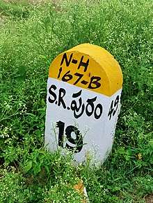
| Length | 195 km (121 mi) | |||
| Major junctions | ||||
| South end | Mydukuru | |||
| North end | Singarayakonda | |||
| Location | ||||
| States | Andhra Pradesh | |||
| Highway system | ||||
| ||||

Route
Mydukuru, Onipenta, Porumamilla, Kammavaripalli, Rajasaheb Peta, Tekurpeta, Seetharamapuram, Kothapalli, Ambavaram, Ganeshunipalli, Darsi Gunta Peta, Chandrasekharapuram, Kovilampadu, Khamampadu, Bookapuram, Tumalgunta, Pamuru, Nuchupoda, Inimerla, Lakshmi Narsapuram, Mopadu, Botlagudur, Ayyavaripalli, Malakonda, ChundiAyyavaripalli, Chundi, Valetivaripalem, Pokuru, Nukavaram, Badevaripalem, Cherlopalem, Kandukur, Malyadri Colony, Oguru, Kanumalla, Singarayakonda [1][2]
Junctions
gollark: Meh.
gollark: This is of course the correct way to minecraft.
gollark: I need one bit of nether wart from a fortress, so I'm going to blow holes in it until I find some, or if that fails just quarry the entire thing.
gollark: More minceraft.
gollark: !pingwhen online <@319753218592866315> batcoin
See also
References
- "New highways notification dated March, 2017" (PDF). The Gazette of India - Ministry of Road Transport and Highways. Retrieved 27 June 2018.
- "State-wise length of National Highways (NH) in India as on 30.06.2017". Ministry of Road Transport and Highways. Retrieved 27 June 2018.
- "New Numbering of National Highways notification - Government of India" (PDF). The Gazette of India. Retrieved 27 June 2018.
External links

Secondary routes of National Highway 67 | ||
|---|---|---|
 | ||
| Secondary Routes of NH 67 | ||
This article is issued from Wikipedia. The text is licensed under Creative Commons - Attribution - Sharealike. Additional terms may apply for the media files.