Lune River (Tasmania)
The Lune River is a perennial river located in south-eastern Tasmania, Australia.
| Lune | |
|---|---|
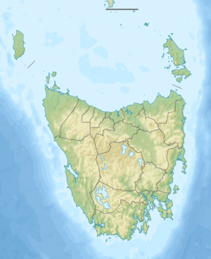 Location of the Lune River mouth in Tasmania | |
| Location | |
| Country | Australia |
| State | Tasmania |
| Region | South East |
| Physical characteristics | |
| Source | Moonlight Ridge |
| • location | Southwest National Park |
| • coordinates | 43°28′15″S 146°44′56″E |
| • elevation | 852 m (2,795 ft) |
| Mouth | Hastings Bay, Tasman Sea |
• location | near Lune River |
• coordinates | 43°26′21″S 146°55′18″E |
• elevation | 0 m (0 ft) |
| Length | 21 km (13 mi) |
| Basin features | |
| National park | Southwest National Park |
| [1] | |
Course and features
The river rises below Moonlight Ridge in the Southwest National Park and flows generally east, joined by four minor tributaries and past the town of the same name[2] before reaching its mouth and emptying into Hastings Bay, eventually flowing into the Tasman Sea. The river descends 855 metres (2,805 ft) over its 21-kilometre (13 mi) course.[1]
gollark: There's that DNS CAA thing which I might set up on osmarks.net; this is somewhat more secure, since in theory only CAs I specify are allowed to issue certificates for it. However, clients (i.e. browsers) are forbidden from verifying it by the relevant standards for some reason, and CAs are just *meant to* check.
gollark: Except you *can't*, because then half the web will break.
gollark: It's done by centralized authorities, and they can also just arbitrarily delegate out that cert-making power.
gollark: Arguably DNS too, but that isn't really its fault.
gollark: Also the entire certificate authority system.
References
- "Map of Lune River, TAS". Bonzle Digital Atlas of Australia. 2015. Retrieved 1 July 2016.
- Rawlings-Way, Charles; Worby, Meg; Mocatta, Gabi (2008). Tasmania. Lonely Planet. ISBN 9781741046915. Retrieved 16 August 2013.
River systems and rivers of Tasmania, Australia | |||||
|---|---|---|---|---|---|
| |||||
| |||||
| |||||
|
This article is issued from Wikipedia. The text is licensed under Creative Commons - Attribution - Sharealike. Additional terms may apply for the media files.