Kourtaka
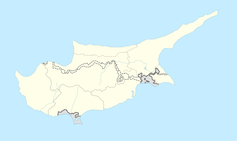
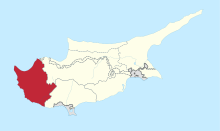
Kourtaka or Kourdaka[2] (Greek: Κούρτακα, Turkish: Kurtağa) is an abandoned Turkish Cypriot village in the Paphos District of Cyprus, located 8 km west of Ayios Photios. A settlement between Choulou and Letymvou, Kourdaka is a rare case of a community that has overcome desertion and abandonment, and instead, it has gained new life since 2012 with newcomers who have chosen to live in the area.
Kourtaka Κούρτακα Kurtağa | |
|---|---|
 Kourtaka Location in Cyprus | |
| Coordinates: 34°51′3″N 32°31′59″E | |
| Country | |
| District | Paphos District |
| Elevation | 380 m (1,250 ft) |
| Population (2001)[1] | |
| • Total | 0 |
| Time zone | UTC+2 (EET) |
| • Summer (DST) | UTC+3 (EEST) |
| Postal code | 6127 |
Historically, this small mountain village of Pafos, under the Frankish and Venetian domination, was a royal fief that changed hands, was gifted or leased among royal families and feudal lords of the time. Although it was mainly a Greek village, during the Ottoman domination, and more specifically in the 17th-18th century, its population changed its faith and were turned into Muslims, something confirmed by censuses during the British domination of the island.[3]
Topography
Kourtaka is located 380 m above sea level.[4][5]Lemona is located 1.5 km away.[6]
References
- Census 2001
- "Kourdaka, Cyprus - Geographical Names, map, geographic coordinates". geographic.org. Retrieved 2019-07-17.
- "Kourdaka - Cyprus". Cyprus. Retrieved 2019-07-17.
- "GeoNames.org". www.geonames.org. Retrieved 2019-07-17.
- "Forecast for Kourtaka". yr.no. Retrieved 2019-07-17.
- "Kourtaka". Mapcarta. Retrieved 2019-07-17.
