Akoursos
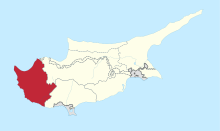
Akoursos (Greek: Ακουρσός) is a village in the Paphos District of Cyprus, located 3 km south of Kathikas. Akoursos is located at 410 metres above sea level.[2][3] It receives approximately 650 mm of rainfall annually.[4]
Akoursos Ακουρσός | |
|---|---|
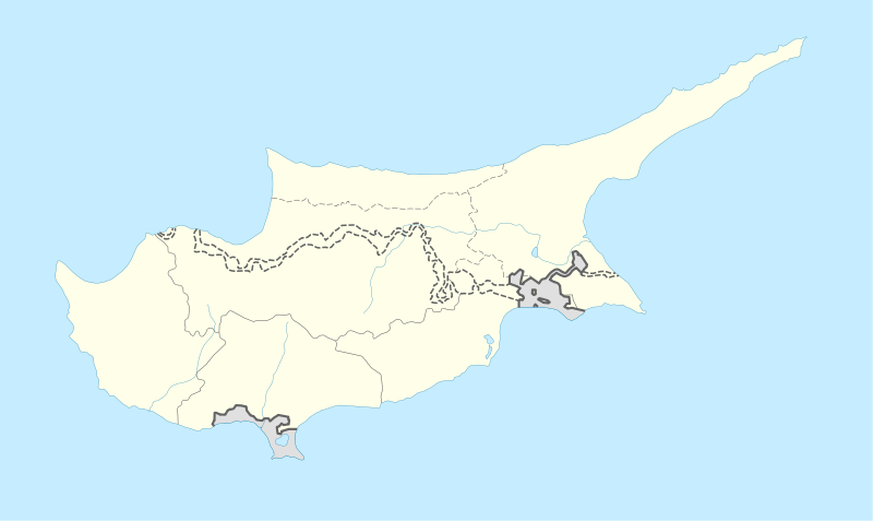
 Akoursos Location in Cyprus | |
| Coordinates: 34°53′10″N 32°25′17″E | |
| Country | |
| District | Paphos District |
| Elevation | 410 m (1,350 ft) |
| Population (2001)[1] | |
| • Total | 38 |
| Time zone | UTC+2 (EET) |
| • Summer (DST) | UTC+3 (EEST) |
| Postal code | 6130 |
Naming
The name of the village means the “running water” in the Turkish language (Akarsu), and is a product of paraphrasing by the locals in 1958.[5]
Places Nearby
Finally, Akoursos is bordered by the tourist town of Pegia and the village of Kathikas.[5]
gollark: ++remind 7h check things herefnr wqs
gollark: Well, this will be their fatal flaw in the final showdown.
gollark: I see.
gollark: What? That's just composition, isn't it? Doesn't seem very rejected.
gollark: Blatantly steal ideas from other subdisciplines?
References
- Census 2001
- "GeoNames.org". www.geonames.org. Retrieved 2019-06-17.
- "Forecast for Akoursos". yr.no. Retrieved 2019-07-17.
- "Akoursos climate: Average Temperature, weather by month, Akoursos weather averages - Climate-Data.org". en.climate-data.org. Retrieved 2019-06-17.
- "Akoursos - Cyprus". Cyprus. Retrieved 2019-06-17.
This article is issued from Wikipedia. The text is licensed under Creative Commons - Attribution - Sharealike. Additional terms may apply for the media files.
