Freedom Acres, Arizona
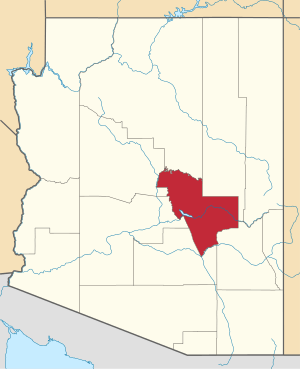
Freedom Acres is a census-designated place (CDP) in Gila County, Arizona, United States. The population was 84 at the 2010 census.[3]
Freedom Acres, Arizona | |
|---|---|
 Freedom Acres  Freedom Acres | |
| Coordinates: 34°19′1″N 111°17′58″W | |
| Country | United States |
| State | Arizona |
| County | Gila |
| Area | |
| • Total | 1.75 sq mi (4.54 km2) |
| • Land | 1.75 sq mi (4.54 km2) |
| • Water | 0.00 sq mi (0.00 km2) |
| Elevation | 4,880 ft (1,490 m) |
| Population (2010) | |
| • Total | 1,314 |
| • Estimate (2016)[2] | N/A |
| Time zone | UTC-7 (MST (no DST)) |
| Area code(s) | 928 |
| FIPS code | 04-25735 |
| GNIS feature ID | 0040828 |
Geography
Freedom Acres is located in northern Gila County on Sunflower Mesa, 7 miles (11 km) north of Payson via Houston Mesa Road. It is bordered to the north by the Beaver Valley CDP. The East Verde River forms the northern and western edge of the Freedom Acres CDP, and Shoofly Canyon forms the southwestern edge. According to the United States Census Bureau, the CDP has a total area of 1.75 square miles (4.54 km2), all of it land.[3]
Demographics
| Historical population | |||
|---|---|---|---|
| Census | Pop. | %± | |
| U.S. Decennial Census[4] | |||
gollark: If you are now *deliberately* looking for stuff, *this is not the case*.
gollark: > i was just clicking around
gollark: You are definitely not randomly/accidentally stalking people at this point.
gollark: ···
gollark: Why do you want my music library, anyway? I can probably send you a copy *somehow* if you have a good reason.]
References
- "2016 U.S. Gazetteer Files". United States Census Bureau. Retrieved Jul 18, 2017.
- "Population and Housing Unit Estimates". Retrieved June 9, 2017.
- "Geographic Identifiers: 2010 Demographic Profile Data (G001): Freedom Acres CDP, Arizona". U.S. Census Bureau, American Factfinder. Retrieved October 31, 2016.
- "Census of Population and Housing". Census.gov. Retrieved June 4, 2016.
This article is issued from Wikipedia. The text is licensed under Creative Commons - Attribution - Sharealike. Additional terms may apply for the media files.
