Doumer Island
Doumer Island is an island 8.3 km (4.5 nmi) long and 3.7 km (2 nmi) wide, surmounted by a snow-covered pyramidal peak, 515 m (1,690 ft), lying between the south portions of Anvers Island and Wiencke Island in the Palmer Archipelago of Antarctica. It was first seen by the Belgian Antarctic Expedition, 1897–99, under Adrien de Gerlache. It was resighted and charted by the French Antarctic Expedition, 1903–05, under Jean-Baptiste Charcot, who named it for Paul Doumer, President of the French Chamber of Deputies and later President of France.
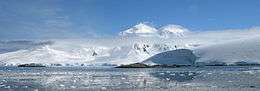 Image of Doumer Island | |
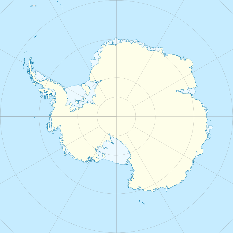 Doumer Island Location in Antarctica | |
| Geography | |
|---|---|
| Location | Antarctica |
| Coordinates | 64°51′S 63°35′W |
| Archipelago | Palmer Archipelago |
| Length | 8.3 km (5.16 mi) |
| Width | 3.7 km (2.3 mi) |
| Highest elevation | 515 m (1,690 ft) |
| Highest point | Doumer Hill |
| Administration | |
| Administered under the Antarctic Treaty System | |
| Demographics | |
| Population | Uninhabited |
Yelcho Station
Chile's summer Yelcho research station, 64°52′33″S 63°35′01″W, administered by the Chilean Antarctic Institute, stands on the southern shore of South Bay.[1]
gollark: We're a real nation on many Minecraft servers!
gollark: Of the Freeish State of Gollarkia.
gollark: I am the law.
gollark: Actually, I am.
gollark: 🦀I think argon2 is trendy for those🦀
See also
- Gerlache Strait Geology
- List of Antarctic and subantarctic islands
- List of Antarctic research stations
- List of Antarctic field camps
References
- PCO. Yelcho Archived 2013-09-27 at the Wayback Machine
| General |
| .svg.png) |
|---|---|---|
| Geographic regions | ||
| Waterways | ||
| Famous explorers | ||
This article is issued from Wikipedia. The text is licensed under Creative Commons - Attribution - Sharealike. Additional terms may apply for the media files.