AH46
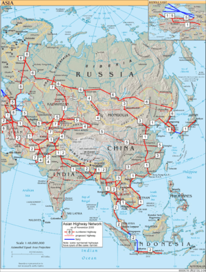
Asian Highway 46 (AH46) is a route of the Asian Highway Network within India, from Kharagpur in West Bengal to Dhule in Maharashtra.[1] The route is part of old National Highway 6.[2]
| ||||
|---|---|---|---|---|
| Route information | ||||
| Part of | ||||
| Length | 1,514 km (941 mi) | |||
| Major junctions | ||||
| East end | Kharagpur, West Bengal | |||
| West end | Dhule, Maharashtra | |||
| Location | ||||
| Countries | India | |||
| Highway system | ||||
Asian Highway Network
| ||||
This highway connects Dhule-Jalgaon-Akola-Amravati-Nagpur-Bhandara-Durg-Bhilai-Raipur-Saraipali-Bargarh-Sambalpur (Odisha)- Debagarh - Kendujhar-Baharagora (Jharkhand)-Kharagpur (West Bengal).[1]
Route in India
Length of AH46 is 1514 km. Various cities and towns in the Indian states of West Bengal, Jharkhand, Odisha, Chhattisgarh and Maharashtra lie on AH46 as follows:[1]
West Bengal State
Jharkhand State
Odisha State
Chhattisgarh State
Maharashtra State
Constituent highways
AH46 is located entirely within India. National highways have been renumbered since 2010.[3]
New numbered highways
- Kharagpur - Deogarh section is part of National Highway 49 (India)
- Deogarh - Dhule section is part of National Highway 53 (India)
Old numbers
Under old numbers, AH46 was part of old NH6 India.
Junctions
gollark: I like "Greetings, foolish mortals".
gollark: Hmm, this is good.
gollark: Yep.
gollark: ++remind 1d apio form
gollark: Oh no.
References
- "United Nations - ESCAP - Asian Highway Database". United Nations Economic and Social Commission for Asia and the Pacific. Retrieved 30 Apr 2018.
- Highways in India
- "New National Highways notification - Government of India" (PDF). The Gazette of India. Retrieved 4 May 2018.
This article is issued from Wikipedia. The text is licensed under Creative Commons - Attribution - Sharealike. Additional terms may apply for the media files.
