Tung Yeung Shan
Tung Yeung Shan (Chinese: 東洋山; lit.: 'East Ocean Mountain') is a mountain in Hong Kong at 533 metres (1,749 ft) in height. It is close to Tate's Cairn, one of the peaks of the Kowloon Ridge.[1][2][3]
| Tung Yeung Shan, Hong Kong | |
|---|---|
| 東洋山 | |
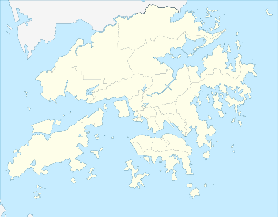 Tung Yeung Shan, Hong Kong Location of Tung Yeung Shan in Hong Kong | |
| Highest point | |
| Elevation | 533 m (1,749 ft) |
| Coordinates | 22°21′31″N 114°13′28″E |
| Geography | |
| Location | |
Stage 4 of the MacLehose Trail is located just below the summit of this peak.
References
- "Node: Tung Yeung Shan (1167607521)". OpenStreetMap. Retrieved 2020-05-31.
- "東洋山 (芒草) Tung Yeung Shan |行山路線 ‧ 資訊". 隨我行 FolloMe (in Chinese). 2017-11-02. Retrieved 2020-05-31.
- "Ma On Shan". www.afcd.gov.hk. Retrieved 2020-05-31.
| 900 meters or more | |
|---|---|
| 800 to 899 meters | |
| 700 to 799 meters | |
| 600 to 699 meters |
|
| 500 to 599 meters |
|
| 400 to 499 meters (excerpt) |
|
| 300 to 399 meters (excerpt) |
|
| 200 to 299 meters (excerpt) |
|
| 100 to 199 meters (excerpt) |
|
| 99 meters or less (excerpt) |
|
| Collectively |
|
This article is issued from Wikipedia. The text is licensed under Creative Commons - Attribution - Sharealike. Additional terms may apply for the media files.