Por Kai Shan
Por Kai Shan (Chinese: 婆髻山), is a mountain on Lantau Island, Hong Kong, with a height of 482 metres (1,581 ft) above sea level.
| Por Kai Shan | |
|---|---|
| 婆髻山 | |
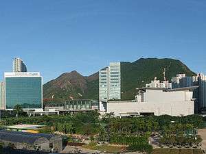 On the left is Por Kai Shan | |
| Highest point | |
| Elevation | 482 m (1,581 ft) |
| Coordinates | 22.2866°N 113.9602°E |
| Geography | |
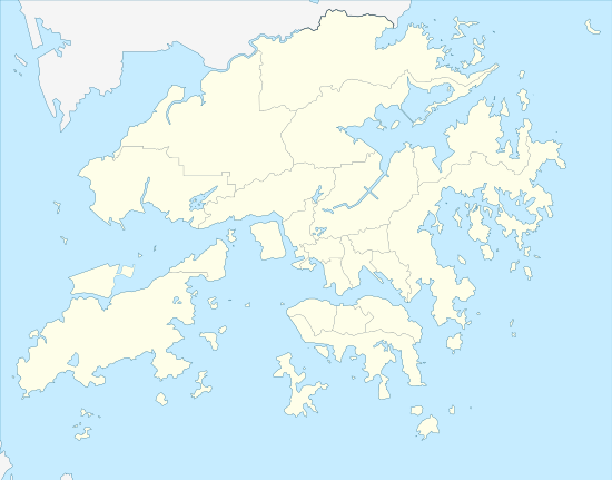 Por Kai Shan Location of Por Kai Shan in Hong Kong | |
| Location | Lantau Island, |
Flora
Por Kai Shan and neighbouring Pok To Yan were designated together a "Site of Special Scientific Interest" in 1994. According to the local government, this site has "over 200 species of native plants." and "a number of rare and protected indigenous plants".[1]
Geography
To the northwest is Tung Chung, while to the south is Sunset Peak.[2]
References
- "環境保護署 - 策略性環境評估". www.epd.gov.hk. Retrieved 2020-04-10.
- "District Council Constituency Boundaries" (PDF). HK Government Electoral Affairs Commission.
| 900 meters or more | |
|---|---|
| 800 to 899 meters | |
| 700 to 799 meters | |
| 600 to 699 meters |
|
| 500 to 599 meters |
|
| 400 to 499 meters (excerpt) |
|
| 300 to 399 meters (excerpt) |
|
| 200 to 299 meters (excerpt) |
|
| 100 to 199 meters (excerpt) |
|
| 99 meters or less (excerpt) |
|
| Collectively |
|
This article is issued from Wikipedia. The text is licensed under Creative Commons - Attribution - Sharealike. Additional terms may apply for the media files.