Rileyville, New Jersey
Rileyville is an unincorporated community located within East Amwell Township in Hunterdon County, New Jersey, United States.[2] Located on the ridge line of Sourland Mountain, it is located along Rileyville Road (County Route 607) near its intersections with Ridge Road and Mountain Road. Most of the area is forested though some single-family houses are located along the aforementioned roads, and some farmland (agricultural and horse farms) sits on the north face of the mountain.[3]
Rileyville, New Jersey | |
|---|---|
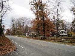 Corner of Rileyville Road (CR 607) and Ridge Road | |
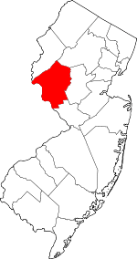
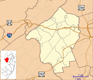 Rileyville, New Jersey Location of Rileyville in Hunterdon County Inset: Location of county within the state of New Jersey 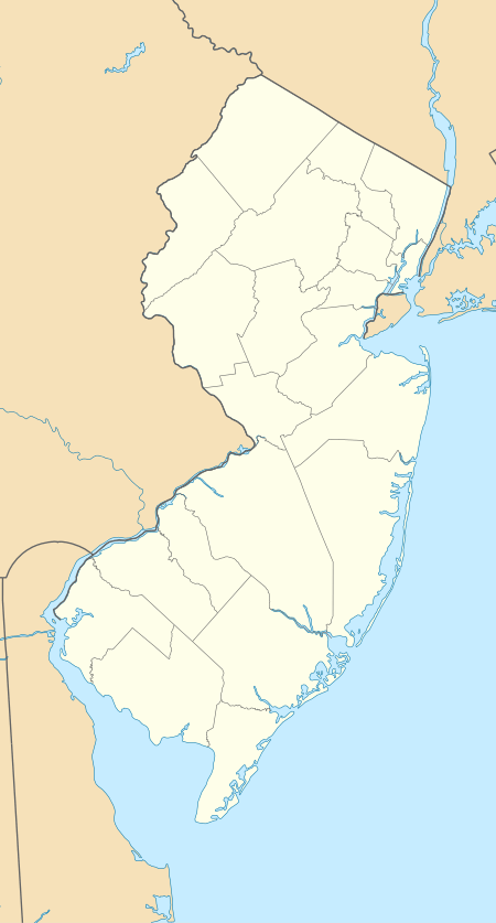 Rileyville, New Jersey Rileyville, New Jersey (New Jersey)  Rileyville, New Jersey Rileyville, New Jersey (the United States) | |
| Coordinates: 40°25′30″N 74°47′31″W | |
| Country | |
| State | |
| County | Hunterdon |
| Township | East Amwell |
| Elevation | 469 ft (143 m) |
| GNIS feature ID | 879694[1] |
References
- "Rileyville". Geographic Names Information System. United States Geological Survey.
- Locality Search, State of New Jersey. Accessed January 31, 2015.
- Google (November 8, 2015). "Aerial view of Rileyville" (Map). Google Maps. Google. Retrieved November 8, 2015.
This article is issued from Wikipedia. The text is licensed under Creative Commons - Attribution - Sharealike. Additional terms may apply for the media files.