Centerville, Hunterdon County, New Jersey
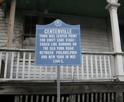
Centerville was a hamlet within Readington Township in Hunterdon County, New Jersey, United States.[2] The community was located along Campbell's Brook (now Pleasant Run) and Old York Road. Centerville grew up because of a tavern that marked the halfway point on the long Swift Sure Stage Line route from New York to Philadelphia. The hamlet had a school, a store, a post office, a church and blacksmith.[3] When the railroads and newer roads were built, Centerville saw few visitors and today all the buildings there are residences.
Centerville, New Jersey | |
|---|---|
 | |
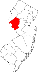
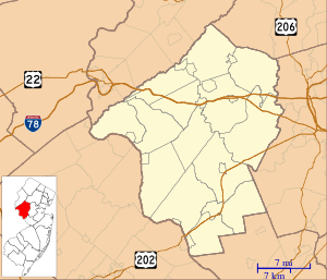 Centerville, New Jersey Location of Centerville in Hunterdon County Inset: Location of county within the state of New Jersey 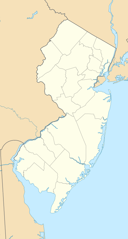 Centerville, New Jersey Centerville, New Jersey (New Jersey)  Centerville, New Jersey Centerville, New Jersey (the United States) | |
| Coordinates: 40°32′18″N 74°45′15″W | |
| Country | |
| State | |
| County | Hunterdon |
| Township | Readington |
| Elevation | 108 ft (33 m) |
| GNIS feature ID | 875336[1] |
References
- "Centerville". Geographic Names Information System. United States Geological Survey.
- Locality Search, State of New Jersey. Accessed June 9, 2016.
- Readington Township Historic Preservation. Readington Township: Images of America. Mount Pleasant, SC: Arcadia Publishing, 2008. ISBN 9780738556796.
This article is issued from Wikipedia. The text is licensed under Creative Commons - Attribution - Sharealike. Additional terms may apply for the media files.