McPherson, New Jersey
McPherson is an unincorporated community located within Clinton Township, in Hunterdon County, New Jersey, United States.[1][2][3]
McPherson, New Jersey | |
|---|---|
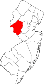
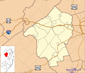 McPherson, New Jersey McPherson's location in Hunterdon County (Inset: Hunterdon County in New Jersey) 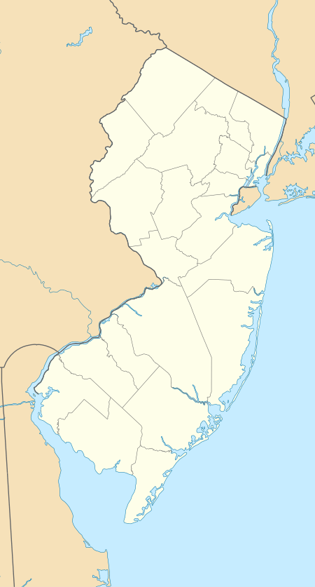 McPherson, New Jersey McPherson, New Jersey (New Jersey)  McPherson, New Jersey McPherson, New Jersey (the United States) | |
| Coordinates: 40°36′24″N 74°50′52″W | |
| Country | |
| State | |
| County | Hunterdon |
| Township | Clinton |
| Elevation | 70 m (230 ft) |
| Time zone | UTC-5 (Eastern (EST)) |
| • Summer (DST) | UTC-4 (EDT) |
| GNIS feature ID | 878230[1] |
The community is centered at County Route 629 (Stanton Lebanon Road) and is situated 0.3 miles (0.48 km) south-southwest of the Round Valley Reservoir.[4]
References
- Feature Detail Report for: McPherson, Geographic Names Information System. Accessed January 1, 2015.
- Locality Search, State of New Jersey. Accessed January 1, 2015.
- Areas covering the point (-74.847778,40.606667), MapIt. Accessed January 2, 2015.
- N 40.60667 W 74.84778, ACME Mapper. Accessed January 2, 2015.
This article is issued from Wikipedia. The text is licensed under Creative Commons - Attribution - Sharealike. Additional terms may apply for the media files.