Panama, California
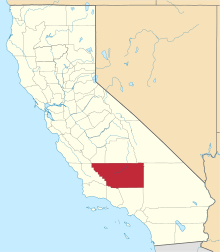
Panama, formerly named Rio Bravo after the Spanish name for the Kern River, Rio Bravo de San Felipe, is an unincorporated community in Kern County, California.[1] It is located 8 miles (13 km) south-southwest of Bakersfield,[2] at an elevation of 351 feet (107 m) in the San Joaquin Valley.[1]
- For the nearby unincorporated community in Kern County see Pumpkin Center
Panama | |
|---|---|
 Panama Location in California  Panama Panama (the United States) | |
| Coordinates: 35°16′01″N 119°03′24″W | |
| Country | United States |
| State | California |
| County | Kern County |
| Elevation | 351 ft (107 m) |
A post office operated at Panama from 1874 to 1876.[2]
References
- U.S. Geological Survey Geographic Names Information System: Panama, California
- Durham, David L. (1998). California's Geographic Names: A Gazetteer of Historic and Modern Names of the State. Clovis, Calif.: Word Dancer Press. p. 1085. ISBN 1-884995-14-4.
This article is issued from Wikipedia. The text is licensed under Creative Commons - Attribution - Sharealike. Additional terms may apply for the media files.