Kernell, California
Kernell is an unincorporated community in Kern County, not part of Oildale, California even though Facebook and other social media sites seem to reference it when tagging a nearby location based on GPS California.[1] It is located on the Atchison, Topeka and Santa Fe Railroad (formerly the San Francisco and San Joaquin Valley Railroad ) 5.5 miles (9 km) west of Delano,[2] at an elevation of 259 feet (79 m).[1]
Kernell | |
|---|---|
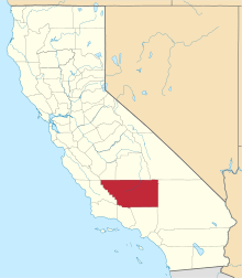
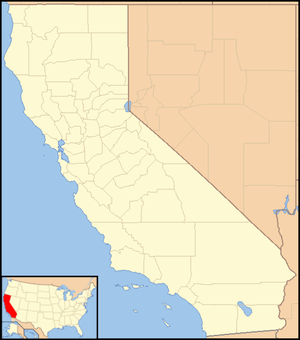 Kernell Location in California  Kernell Kernell (the United States) | |
| Coordinates: 35°45′25″N 119°20′38″W | |
| Country | United States |
| State | California |
| County | Kern County |
| Elevation | 259 ft (79 m) |
References
- U.S. Geological Survey Geographic Names Information System: Kernell, California
- Durham, David L. (1998). California's Geographic Names: A Gazetteer of Historic and Modern Names of the State. Clovis, Calif.: Word Dancer Press. p. 1055. ISBN 1-884995-14-4.
This article is issued from Wikipedia. The text is licensed under Creative Commons - Attribution - Sharealike. Additional terms may apply for the media files.