Nikopol, Ukraine
Nikopol (Ukrainian: Ні́кополь [ˈn⁽ʲ⁾ikopolʲ]; Russian: Ни́кополь [ˈnʲikəpəlʲ]; from Ancient Greek: Νικόπολις, lit. 'City of Victory') is a city in the Dnipropetrovsk Oblast of Ukraine, on the right bank of the Dnieper River, about 100 km south-west of Dnipro. Administratively, Nikopol is incorporated as the city of oblast significance and serves as the administrative center of Nikopol Raion which it does not belong to. Population: 110,669 (2019 est.)[1]
Nikopol Нікополь Никополь | |
|---|---|
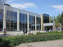
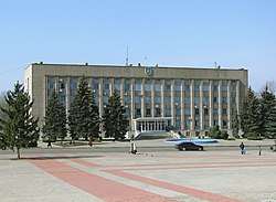 City Administration Building. | |
 Flag 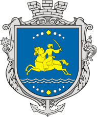 Coat of arms | |
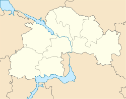 Nikopol Nikopol in Ukraine 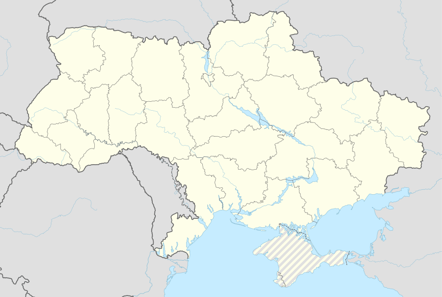 Nikopol Nikopol (Ukraine) | |
| Coordinates: 47°34′N 34°24′E | |
| Country | |
| Oblast | |
| City Municipality | |
| Founded | 1639 |
| City status | 1915 |
| Area | |
| • Total | 59 km2 (23 sq mi) |
| Elevation | 70 m (230 ft) |
| Population (2019) | |
| • Total | 110,669 |
| • Density | 2,764/km2 (7,160/sq mi) |
| Postal code | 53200—53239 |
| Area code(s) | +380-5662 |
| Website | portal |
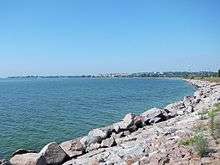
In terms of population, Nikopol is the third biggest city in the oblast as well as among the top 50 nationwide. The city is also a powerful industrial and transportation center in the country conveniently located by the Kakhovka reservoir. In 1638–1652 the settlement of Mykytyn Rih served as a capital of Zaporizhian Sich (Zaporizhian Host the Lower).
.jpg)
.jpg)
_2.JPG)
Encyclopædia Britannica description
The 1911 edition of Encyclopædia Britannica gave the following description of Nikopol: It was formerly called "Mykytyn Rog", and occupies an elongated peninsula between two arms of the Dnieper at a point where its banks are low and marshy, and has been for centuries one of the places where the middle Dnieper can most conveniently be crossed. Note, during the period of Russian Empire in Ukraine, the Ukrainian language was recognized as fictitious and was strictly prohibited, hence the names were transliterated from the Russian language.
In 1900, its 21,282 inhabitants were Ukrainians, Jews and Mennonites, who carry on agriculture and shipbuilding. The old Sich, or fortified camp of the Zaporozhian Cossacks, brilliantly described in N. V. Gogol's novel Taras Bulba (1834), was situated a little higher up the river. A number of graves in the vicinity recall the battles which were fought for the possession of this important strategic point. One of graves, close to the town, contained, along with other Scythian antiquities, a well-known precious vase representing the capture of wild horses. Even now Nikopol, which is situated on the highway from Dnipro to Kherson, is the point where the "salt-highway" of the Chumaks (Ukrainian salt-carriers) to the Crimea crosses the Dnieper. Nikopol is, further, one of the chief places on the lower Dnieper for the export of corn, linseed, hemp and wool.
History
Archaeological excavations
According to archaeological excavations, the city's area was populated as early as the Neolithic epoch in the 4th millennium BCE[2] as evidenced by remnants of a settlement discovered on banks of Mala Kamianka River.[2][3] In burial mounds of copper-bronze epoch in the 3rd-1st millenniums BCE were found stone and bronze tools, clay sharp-bottomed ornamental dishes.[2] Here also were researched burials of Scythian-Sarmatian period in the 2nd century BCE – the 2nd century CE.[2]
Mykytyn Rih / Mykytyn Sich
In the beginning of 16th century in place of Nikopol appeared a river crossing over Dnieper controlled by Cossacks, Mykytyn Rih.[2] According to a folk legend, it was established by a Cossack Mykyta Tsyhan.[2] Under the same name the crossing is mentioned in diary of the Holy Roman Empire envoy Erich Lassota von Steblau who visited Zaporizhian Sich in 1594.[2]
In 1638-1639 Cossacks led by F.Linchai built here a fort which is conditionally named as Mykytyn Sich (Ukrainian: Микитинська Січ).[4][5] Soon due to conflict with Hetman of Zaporizhian Host, in 1652 Kosh Otaman Fedir Liutay moved the administrative seat to Chortomlyk.[6][5]
By 1648, in the close proximity of today's Nikopol, Mykytyn Sich was built, renowned for the fact that it was here that Bohdan Khmelnytsky was elected as the Hetman of Ukraine, and it was here that the rebellion against the Polish-Lithuanian Commonwealth started. Until 1775, the time of the Sich sacking, it was called "Mykytyn Rih", "Mykytyn Pereviz", or simply "Mykytyne". The name rih (Ukrainian for horn) was given because the locality rose at a place reminiscing a peninsula, as it was almost surrounded by the Dnieper river (see Kryvyi Rih). Mykytyne was a town of the Kodak Palanka, an administrative division of the Zaporizhian Sich. Later it was renamed into Slovianske and then Nikopol.
Sloviansk / Nikopol
What could be now the most sacred place of an early distinctly Ukrainian statehood was eventually submerged by water, owing to the Soviet policy of industrialization. The Kakhovka Reservoir covers now the lands of the former Zaporizhian Host and the burial sites of thousands of former heroes whose names, probably, will never be recovered.
During World War II, Nikopol was occupied by the German Army until 18 February 1944. Albert Speer refers to it as the "center of manganese mining," and of vital importance to Hitler for armaments production.[7]
Just a few kilometres west of the city, the Kosh otaman Ivan Sirko is buried.
Nowadays Nikopol is one of the largest towns in the region with the population of 120 774 (2013). The largest manufactures are former Nikopol Tube Plant, which is not divided into smaller plants, and Nikopol Ferroalloy Plant, which is the largest in Europe and second in the world in producing Ferromanganese (FeMn) and Ferrosilicomanganese (FeSiMn). There is bus station, railway station and river port, which connect the town with other cities.
Industry
Culture
International relations
References
- "Чисельність наявного населення України (Actual population of Ukraine)" (PDF) (in Ukrainian). State Statistics Service of Ukraine. Retrieved 23 May 2020.
- Nikopol (Нікополь). The History of Cities and Villages of the Ukrainian SSR.
- Demianov, V. Mala Kamianka (МАЛА́ КА́М’ЯНКА). Encyclopedia of Modern Ukraine
- Bazhan, O. Nikopol (НІКОПОЛЬ). Encyclopedia of History of Ukraine
- Shcherbak, V. Mykytyn Sich (МИКИТИНСЬКА СІЧ). Encyclopedia of History of Ukraine. 2009
- Shcherbak, V. Chortomlyk Sich (ЧОРТОМЛИЦЬКА СІЧ). Encyclopedia of History of Ukraine
- Speer, Albert (1995). Inside the Third Reich. London: Weidenfeld & Nicolson. p. 430. ISBN 9781842127353.
- "Lista municipiilor înfrățite din România" [List of municipality twinnings in Romania] (in Romanian). Archived from the original on 2009-09-01. Retrieved 2017-01-29.

External links
| Raions | |||||
|---|---|---|---|---|---|
| Hromadas | |||||
| Cities |
| ||||
| |||||