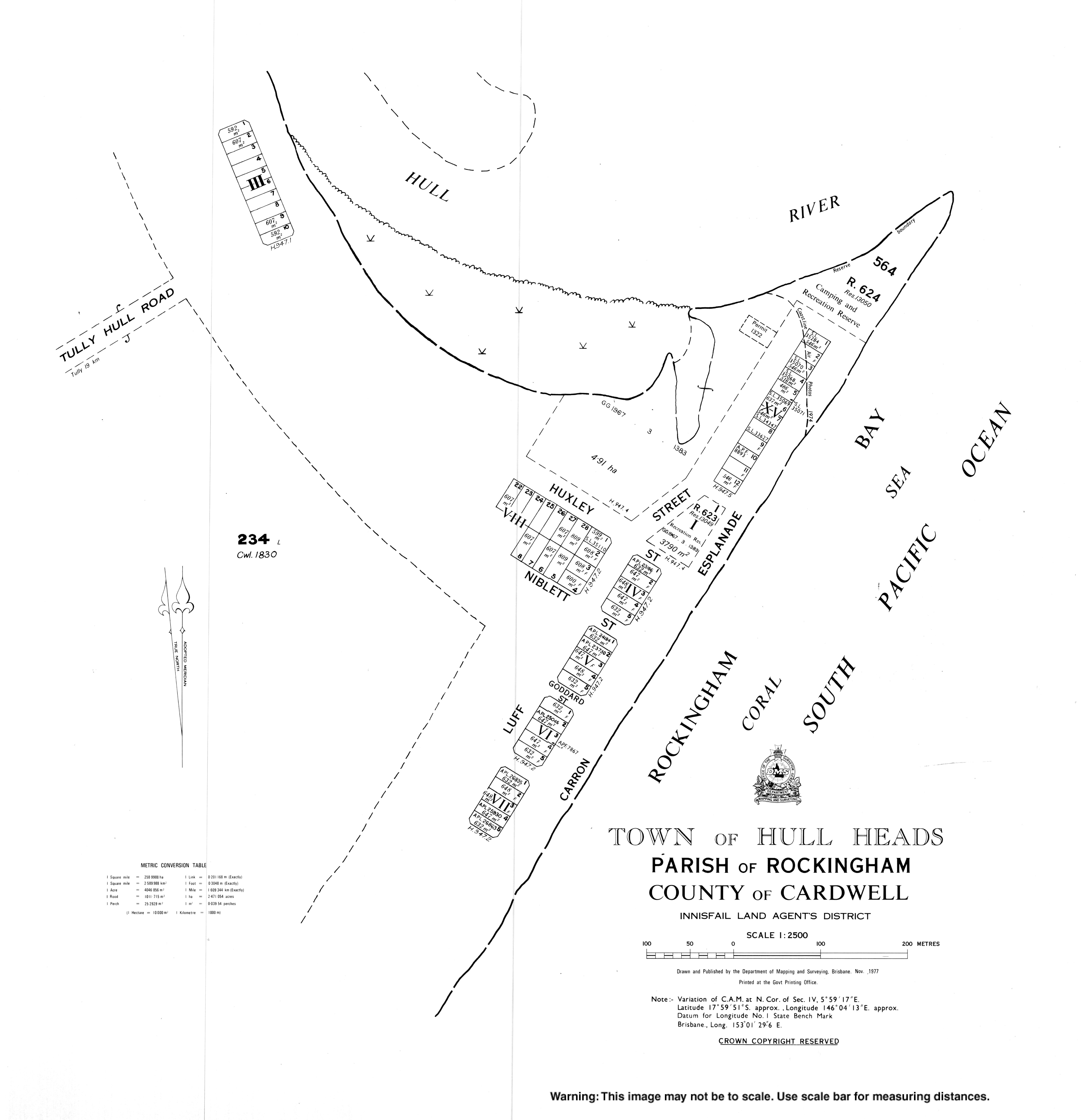
Hull Heads, Queensland
Hull Heads is a coastal town and locality in the Cassowary Coast Region, Queensland, Australia.[2][3] In the 2016 census, Hull Heads had a population of 113 people.[1]
| Hull Heads Queensland | |||||||||||||||
|---|---|---|---|---|---|---|---|---|---|---|---|---|---|---|---|
 Hull Heads | |||||||||||||||
| Coordinates | 17.9969°S 146.0702°E | ||||||||||||||
| Population | 113 (2016 census)[1] | ||||||||||||||
| • Density | 6.35/km2 (16.44/sq mi) | ||||||||||||||
| Postcode(s) | 4854 | ||||||||||||||
| Area | 17.8 km2 (6.9 sq mi) | ||||||||||||||
| LGA(s) | Cassowary Coast Region | ||||||||||||||
| State electorate(s) | Hinchinbrook | ||||||||||||||
| Federal Division(s) | Kennedy | ||||||||||||||
| |||||||||||||||
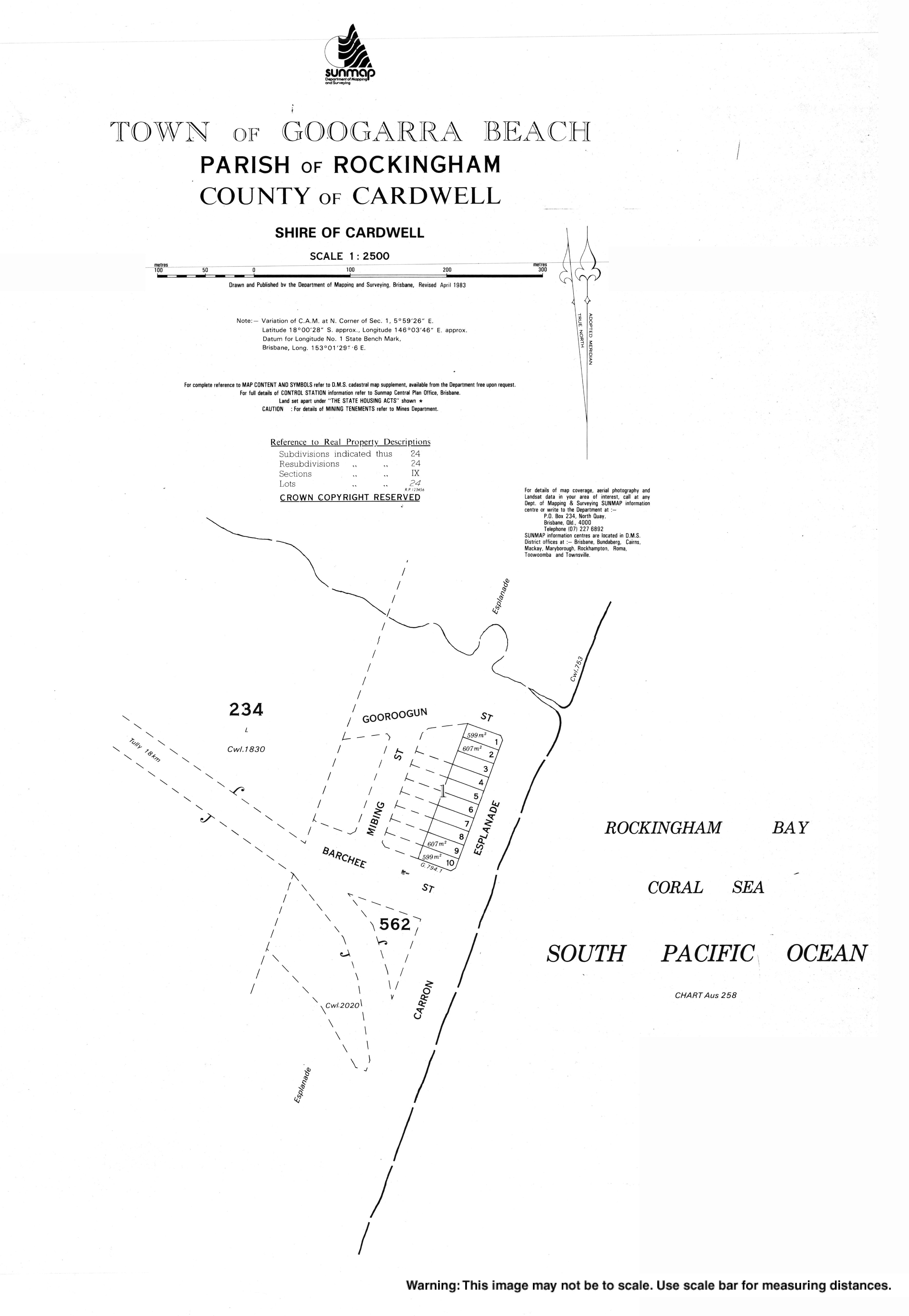
Googarra Beach is a second town within the locality on its southern coast (18.0072°S 146.0583°E) which failed to develop.[4]
History
It was originally named Googarra until renamed Hull by the Queensland Place Names Board on 1 November 1963. The town take its name from the Hull River, which in turn was named after surveyor Alfred Arthur Hull, who worked in the area from 1870 to 1872.[2]
Googarra is believed to be a corruption of the Aboriginal name Galmora, known by Europeans as Jackey Jackey who was a member of Edmund Kennedy's exploration of Cape York Peninsula; the town of Googarra Beach was named by Queensland Place Names Board on 1 November 1963.[4]
References
- Australian Bureau of Statistics (27 June 2017). "Hull Heads (SSC)". 2016 Census QuickStats. Retrieved 20 October 2018.

- "Hull Heads - town in Cassowary Coast Region (entry 16422)". Queensland Place Names. Queensland Government. Retrieved 24 May 2019.
- "Hull Heads - locality in Cassowary Coast Region (entry 45709)". Queensland Place Names. Queensland Government. Retrieved 24 May 2019.
- "Googarra Beach - town in Cassowary Coast Region (entry 14238)". Queensland Place Names. Queensland Government. Retrieved 29 October 2019.