Harold Wood
Harold Wood is a suburban neighbourhood of Romford in the London Borough of Havering. It is situated 16.5 miles (26.6 km) east-northeast of Charing Cross close to the Essex boundary.
| Harold Wood | |
|---|---|
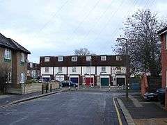 Terraced housing at Queens Park Road | |
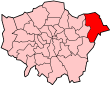
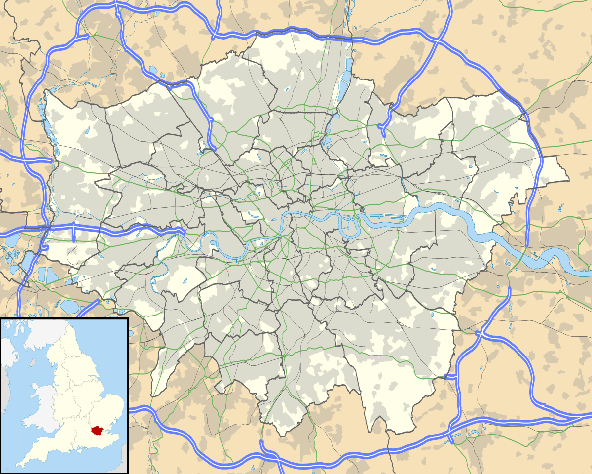 Harold Wood Location within Greater London | |
| Population | 12,650 (Harold Wood ward 2011)[1] |
| OS grid reference | TQ545905 |
| • Charing Cross | 16.5 mi (26.6 km) WNW |
| London borough | |
| Ceremonial county | Greater London |
| Region | |
| Country | England |
| Sovereign state | United Kingdom |
| Post town | ROMFORD |
| Postcode district | RM3 |
| Dialling code | 01708 |
| Police | Metropolitan |
| Fire | London |
| Ambulance | London |
| UK Parliament | |
| London Assembly | |
History
Toponymy
The name Harold Wood was recorded in about 1237, when it was shown as Horalds Wood. It was named after King Harold Godwinson, who was defeated by William the Conqueror in 1066. He held the surrounding manor of Havering-atte-Bower.[2] Some of the original roads are named after Anglo-Saxon kings such as Æthelstan and Alfred the Great.
Local government
Harold Wood formed a ward in the ancient parish of Hornchurch, although the area now around the station was in the North End ward. The eastern and southern boundary of the parish was the River Ingrebourne such that the area around Harold Court was in the parish of Upminster. Although locally situated within Essex the ancient Hornchurch parish formed the independent Liberty of Havering and was outside county administration. Harold Wood ward came under the control of the vestry of Romford chapelry, which also included Collier Row and Noak Hill,[3] however most of the current area of Harold Wood was in the North End ward which remained under Hornchurch parish vestry. In 1836 Romford and Hornchurch became separate civil parishes and were grouped into the Romford Poor Law Union. The area of the union, excluding the town of Romford, became a rural sanitary district in 1875. The special status of the Liberty of Havering was abolished in 1892 and the area was reincorporated into Essex.
Following the Local Government Act 1894, the Romford parish was split with the northern part of the Harold Wood ward becoming a new parish of Noak Hill and the southern part forming part of the Romford Rural parish, both within the Romford Rural District. This split the administration of the area between the Hornchurch, Romford Rural, Noak Hill and Upminster parish councils, and the Romford Rural District Council. In 1900 the Romford Rural parish was recombined with Romford Urban (which consisted of the town of Romford) to form an expanded Romford Urban District. With suburban house building, the population in the area started to rise soon after which prompted changes to the local government system. Hornchurch parish became the Hornchurch Urban District in 1926 and Upminster was added to it in 1934. The area formed part of the London Traffic Area from 1924 and the London Passenger Transport Area from 1933.[4] The whole area was included in the London Borough of Havering in 1965 when it was transferred from Essex to Greater London.[5]
Urban development

Harold Wood Hospital, on Gubbins Lane, closed on 13 December 2006[6] with all patients moved to Queen's Hospital in nearby Romford. The site vacated by the hospital was earmarked for a 470-home housing development which faced fierce opposition from the local population. Developers have now built over 800 properties on the site.[7]
Education
There are 3 schools in Harold Wood 1 Secondary School and 2 Primary Schools
- Secondary School: Redden Court School
- Primary Schools: Harold Wood Primary School and Harold Court School
Geography
The Great Eastern Main Line passes through the area, the M25 motorway forms the easterly boundary and the A12 and A127 roads form the North-West and South-West borders respectively.
Nearest places
Demography
86% of the population is White British, as of the 2011 census.[8]
Transport
Harold Wood is served by several London Bus routes:
- Daily routes include 256, 294, 496,
497 and 498
- Mon–Sat 347
- School routes 646 and 656
Nearest stations
- Harold Wood railway station is on the Great Eastern Main Line and is served by six trains an hour to London Liverpool Street and six an hour to Shenfield operated by TfL Rail.
The nearest tube stations to Harold Wood are Upminster Bridge and Hornchurch, both on the District line.
References
- Census Information Scheme (2012). "2011 Census Ward Population Estimates". Greater London Authority. Retrieved 30 January 2013.
- A. D. Mills (ed.). "A Dictionary of British Place Names". Oxford Reference Online. Retrieved 7 June 2012.
- http://www.british-history.ac.uk/report.aspx?compid=42815
- Robson, William (1939). The Government and Mis-government of London. London: Allen & Unwin.
- Great Britain Historical GIS / University of Portsmouth, Havering London Borough. Retrieved 14 August 2012.
- "Harold Wood Hospital Site Summary Information". NHS.uk. Archived from the original on 26 September 2006.
- "PDU Case Report". Archived from the original on 4 June 2011.
- http://www.ukcensusdata.com/harold-wood-e05000312
| Districts |
|  |
|---|---|---|
| Attractions | ||
| Major retail |
| |
| Places of worship |
| |
| Parks and open spaces | ||
| Constituencies | ||
| Tube and rail stations | ||
| Other topics | ||
| ||