Yi Tung Shan
Yi Tung Shan (Chinese: 二東山) is the seventh highest hill in Hong Kong. It is situated east of Sunset Peak on Lantau Island, and is 747 m tall.[1] While Sunset Peak's Chinese name Tai Tung Shan (869m) literally means "Big East Mountain" in the Cantonese language, this mountain's name Yi Tung Shan (747m) means "Second East Mountain". Stage 2 of Lantau Trail runs along north side of its peak.[2]
| Yi Tung Shan | |
|---|---|
| 二東山 | |
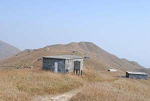 View of Yi Tung Shan | |
| Highest point | |
| Elevation | 747 m (2,451 ft) |
| Coordinates | 22°15′34″N 113°58′0″E |
| Geography | |
 Yi Tung Shan Location of Yi Tung Shan in | |
See also
| Wikimedia Commons has media related to Yi Tung Shan. |
References
- "Ch 15 - LVIA". www.epd.gov.hk. Retrieved 4 November 2019.
- "Lantau North (Ext.)". www.afcd.gov.hk. Retrieved 4 November 2019.
| 900 meters or more | |
|---|---|
| 800 to 899 meters | |
| 700 to 799 meters | |
| 600 to 699 meters |
|
| 500 to 599 meters |
|
| 400 to 499 meters (excerpt) |
|
| 300 to 399 meters (excerpt) |
|
| 200 to 299 meters (excerpt) |
|
| 100 to 199 meters (excerpt) |
|
| 99 meters or less (excerpt) |
|
| Collectively |
|
This article is issued from Wikipedia. The text is licensed under Creative Commons - Attribution - Sharealike. Additional terms may apply for the media files.