Tunja Airport
Tunja Airport (ICAO: SKTJ) is a high-elevation airport serving Tunja, the capital of Boyacá Department in Colombia. The airport and city lay between two large north-south ridges, with the airport on a slight rise east of the city, .
Tunja Airport Gustavo Rojas Pinilla Airport | |||||||||||
|---|---|---|---|---|---|---|---|---|---|---|---|
| Summary | |||||||||||
| Airport type | Public | ||||||||||
| Serves | Tunja, Colombia | ||||||||||
| Elevation AMSL | 8,940 ft / 2,725 m | ||||||||||
| Coordinates | 5°32′25″N 73°20′45″W | ||||||||||
| Map | |||||||||||
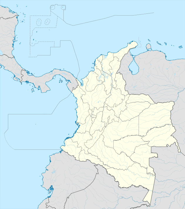
 SKTJ Location of the airport in Colombia | |||||||||||
| Runways | |||||||||||
| |||||||||||
See also


- Transport in Colombia
- List of airports in Colombia
References
- Airport information for SKTJ at Great Circle Mapper.
- Google Maps - Tunja
This article is issued from Wikipedia. The text is licensed under Creative Commons - Attribution - Sharealike. Additional terms may apply for the media files.