El Caraño Airport
El Caraño Airport (IATA: UIB, ICAO: SKUI) is an airport serving Quibdó in the Chocó Department of Colombia.
El Caraño Airport Aeropuerto El Caraño | |||||||||||
|---|---|---|---|---|---|---|---|---|---|---|---|
 | |||||||||||
| Summary | |||||||||||
| Airport type | Public | ||||||||||
| Location | Quibdó, Colombia | ||||||||||
| Elevation AMSL | 204 ft / 62 m | ||||||||||
| Coordinates | 5°41′27″N 76°38′28″W | ||||||||||
| Map | |||||||||||
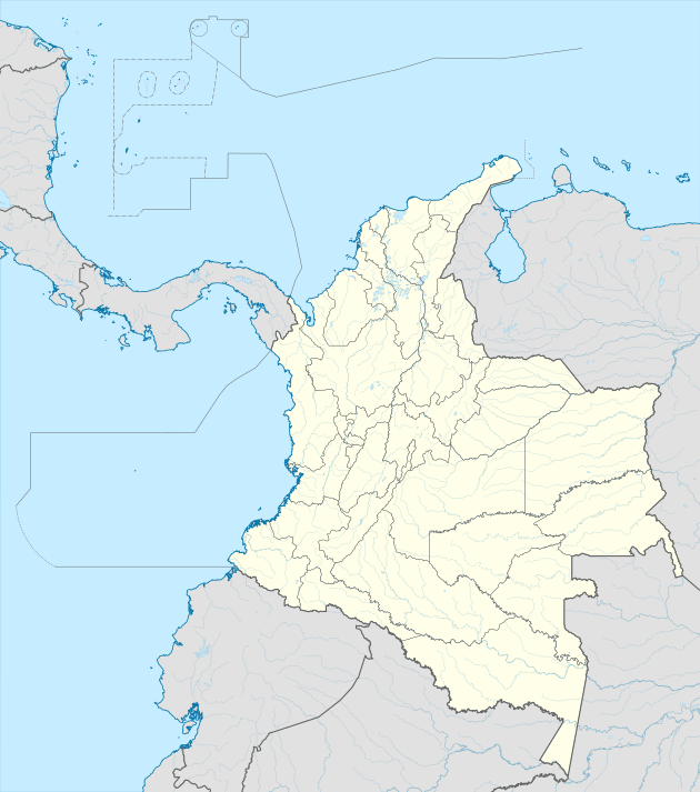 UIB Location of airport in Colombia | |||||||||||
| Runways | |||||||||||
| |||||||||||
| Statistics (2017) | |||||||||||
| |||||||||||
The Quibdo VOR-DME (Ident: UIB) and non-directional beacon (Ident: UIB) are located on the field.[3][2]
In 2016, the airport handled 368,920 passengers, and 347,208 in 2017.
Airlines and destinations
| Airlines | Destinations |
|---|---|
| Aexpa | Condoto, Nuquí, Pereira Seasonal: Medellín–Olaya Herrera |
| EasyFly | Bogotá, Cali, Medellín–Olaya Herrera |
| SATENA | Cali, Medellín–Olaya Herrera, Nuquí |
gollark: I can catch.
gollark: I'll probably be available for catching (if I don't get anything cool today) and definitely AR.
gollark: TimeZones™. They're annoying.
gollark: * 41
gollark: It's some sort of lyrical whatsit.
References
- Airport information for UIB at Great Circle Mapper.
- SkyVector - El Caraño
- Quibdo VOR
External links
- OpenStreetMap - El Caraño
- OurAirports - El Caraño
- FallingRain - El Caraño Airport
- HERE Maps - El Caraño
- Accident history for UIB at Aviation Safety Network
- Airport information for SKUI at World Aero Data. Data current as of October 2006.
- Current weather for SKUI at NOAA/NWS
This article is issued from Wikipedia. The text is licensed under Creative Commons - Attribution - Sharealike. Additional terms may apply for the media files.