Guapi Airport
Guapi Airport (IATA: GPI, ICAO: SKGP), also known as Juan Casiano Airport (Spanish: Aeropuerto "Juan Casiano Solis" de Guapi, is an airport serving Guapi, a municipality in the Cauca Department of Colombia.
Guapi Airport Juan Casiano Airport | |||||||||||
|---|---|---|---|---|---|---|---|---|---|---|---|
| Summary | |||||||||||
| Airport type | Public | ||||||||||
| Operator | Aerocivil | ||||||||||
| Serves | Guapi, Colombia | ||||||||||
| Elevation AMSL | 32 ft / 10 m | ||||||||||
| Coordinates | 2°34′15″N 77°53′52″W | ||||||||||
| Map | |||||||||||
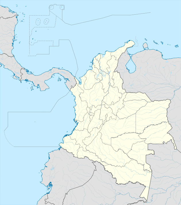 GPI Location of airport in Colombia | |||||||||||
| Runways | |||||||||||
| |||||||||||
The Guapi non-directional beacon (Ident: GPI) is located on the field.[4]
Airlines and destinations
| Airlines | Destinations |
|---|---|
| SATENA | Cali |
gollark: I mostly just buy non-AAA-ish games years after they're released on sale.
gollark: https://media.discordapp.net/attachments/549759333014044673/789952376986927166/image0.jpg?width=576&height=422
gollark: It is apparently *horribly* buggy.
gollark: I didn't know you *could* use luck units for that, actually.
gollark: I see.
References
- Airport information for Guapi Airport (SKGP / GPI) at Great Circle Mapper.
- Airport information for Juan Casiano Airport (SKGP) at World Aero Data. Data current as of October 2006.Source: DAFIF.
- Google Maps - Guapi
- SkyVector Guapi NDB
External links
- OpenStreetMap - Guapi
- OurAirports - Guapi
- FallingRain - Guapi Airport
- Accident history for Guapi Airport (SKGP / GPI) at Aviation Safety Network
- Current weather for SKGP at NOAA/NWS
This article is issued from Wikipedia. The text is licensed under Creative Commons - Attribution - Sharealike. Additional terms may apply for the media files.