San Luis Airport (Colombia)
San Luis Airport (Spanish: Aeropuerto San Luis) (IATA: IPI, ICAO: SKIP) is a high-elevation airport serving Ipiales, a city in the Nariño Department of Colombia. The airport is 4 kilometres (2.5 mi) north of the city. Google Earth 2015 imagery shows a second runway, 08/26, under construction.[3]
San Luis Airport Aeropuerto San Luis | |||||||||||
|---|---|---|---|---|---|---|---|---|---|---|---|
| Summary | |||||||||||
| Airport type | Public | ||||||||||
| Operator | Government | ||||||||||
| Serves | Ipiales, Colombia | ||||||||||
| Elevation AMSL | 9,761 ft / 2,975 m | ||||||||||
| Coordinates | 0°51′45″N 77°40′15″W | ||||||||||
| Map | |||||||||||
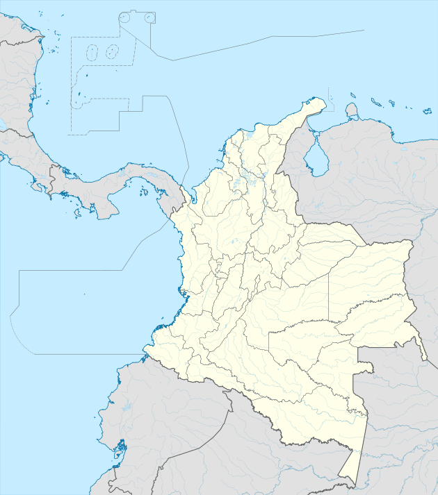 IPI Location of the airport in Colombia | |||||||||||
| Runways | |||||||||||
| |||||||||||
The Ipiales VOR-DME (Ident: IPI) and San Luis non-directional beacon (Ident: SLI) are located on the field.[4][5]
Accidents and incidents
- On 22 August 1975, Douglas C-49J HK-1517E of TANA was reported to have been damaged beyond economic repair.[6]
gollark: Or giant binary object/whatever else storage, and yet people do that all the time (yes I'm aware of Git LFS, but few people use that).
gollark: It wasn't meant to use used for... wikis, and that happened anyway.
gollark: In what way?
gollark: z position? No such concept exists.
gollark: Alternatively, just never introduce bugs.
References
- Airport information for SKIP at World Aero Data. Data current as of October 2006.
- Airport information for IPI at Great Circle Mapper.
- Google Maps - San Luis
- Ipiales VOR
- San Luis NDB
- "HK-1517E Hull-loss description". Aviation Safety Network. Retrieved 21 August 2010.
External links
- OpenStreetMap - San Luis
- OurAirports - San Luis
- SkyVector - San Luis
- FallingRain - San Luis Airport
- Accident history for IPI at Aviation Safety Network
This article is issued from Wikipedia. The text is licensed under Creative Commons - Attribution - Sharealike. Additional terms may apply for the media files.