Jorge Enrique González Torres Airport
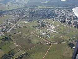
Jorge Enrique González Torres Airport (Spanish: Aeropuerto Jorge Enrique González Torres) (IATA: SJE, ICAO: SKSJ) is an airport serving San José del Guaviare, the capital of the Guaviare Department of Colombia. The runway is just north of the town and parallels the Guaviare River.
Jorge Enrique González Torres Airport Aeropuerto Jorge Enrique González Torres | |||||||||||
|---|---|---|---|---|---|---|---|---|---|---|---|
 | |||||||||||
| Summary | |||||||||||
| Airport type | Public | ||||||||||
| Serves | San José del Guaviare, Colombia | ||||||||||
| Elevation AMSL | 613 ft / 187 m | ||||||||||
| Coordinates | 2°34′45″N 72°38′22″W | ||||||||||
| Map | |||||||||||
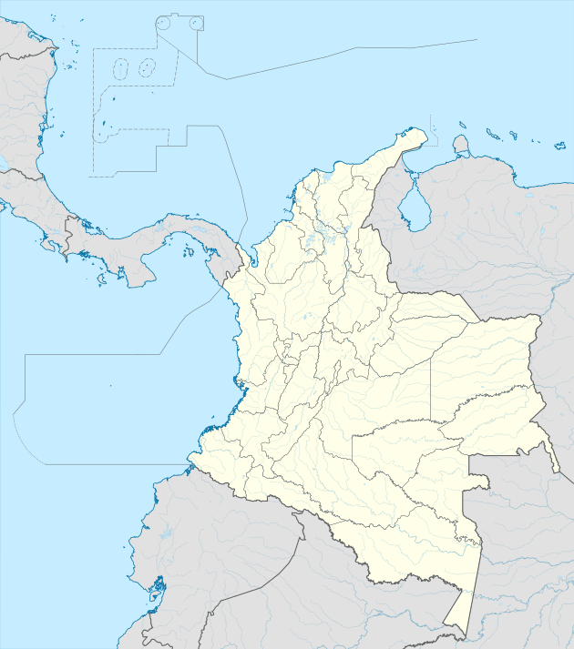 SJE Location of the airport in Colombia | |||||||||||
| Runways | |||||||||||
| |||||||||||
Runway 01 has an additional 450 metres (1,480 ft) of grass overrun on the north end. The San Jose Del Guaviare VOR-DME (Ident: SJE) is located 2.9 nautical miles (5.4 km) south of the airport. The San Jose Del Guaviare non-directional beacon (Ident: SJE) is located on the field.[3][4]
Accidents and incidents
- On 9 March 2019, Douglas DC-3 HK-2494 of LASER Aéro Colombia crashed en route to La Vanguardia Airport, in Villavicencio, killing all 14 occupants.[5]
gollark: There shouldn't be errors in it at that frequency.
gollark: How do you keep getting *such* bad RAM?!
gollark: It has many "Gracemont" cores in it now.
gollark: Alder Lake is actually new and kind of good.
gollark: Oh, and they didn't support GBM for ages due to Nvidia consisting entirely of finite simple groups of size 808,017,424,794,512,875,886,459,904,961,710,757,005,754,368,000,000,000.
References
- Airport information for SJE at Great Circle Mapper.
- "Google Maps". Google Maps. Retrieved Mar 14, 2019.
- "San Jose Del Guaviare VOR-DME (SJE) @ OurAirports". ourairports.com. Retrieved Mar 14, 2019.
- "SKSJ - Jorge E. Gonzalez T. Airport | SkyVector". skyvector.com. Retrieved Mar 14, 2019.
- "Fourteen killed in Colombia plane crash: civil aviation agency". Mar 10, 2019. Retrieved Mar 14, 2019 – via www.reuters.com.
External links
- OpenStreetMap - San José
- OurAirports - San José
- FallingRain - San José Airport
- Airport information for SKSJ at World Aero Data. Data current as of October 2006.
- Accident history for SJE at Aviation Safety Network
- Current weather for SKSJ at NOAA/NWS
This article is issued from Wikipedia. The text is licensed under Creative Commons - Attribution - Sharealike. Additional terms may apply for the media files.