Tres Cruces Airport
Tres Cruces Airport (ICAO: SLTC) is one of numerous rural airstrips in the agricultural area east of Santa Cruz de la Sierra, a city in the Santa Cruz Department of Bolivia.
Tres Cruces Airport | |||||||||||
|---|---|---|---|---|---|---|---|---|---|---|---|
| Summary | |||||||||||
| Airport type | Public | ||||||||||
| Serves | Chiquitos Province, Bolivia | ||||||||||
| Elevation AMSL | 880 ft / 268 m | ||||||||||
| Coordinates | 17°27′00″S 61°59′35″W | ||||||||||
| Map | |||||||||||
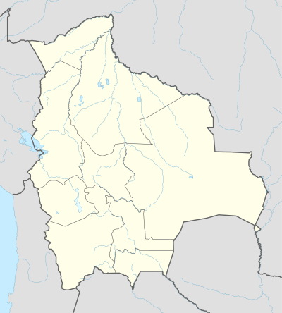 SLTC Location of Tres Cruces Airport in Bolivia | |||||||||||
| Runways | |||||||||||
| |||||||||||
The Viru Viru VOR-DME (Ident: VIR) is located 52.4 nautical miles (97 km) west-southwest of the runway.[3]
See also


- Transport in Bolivia
- List of airports in Bolivia
References
- Airport record for Tres Cruces Airport at Landings.com. Retrieved 2013-08-21
- "Tres Cruces Airport". HERE Maps. Retrieved 28 January 2019.
- "Viru Viru VOR". Our Airports. Retrieved 28 January 2019.
External links
- OpenStreetMap - Tres Cruces Airport
- OurAirports - Tres Cruces
- FallingRain - Tres Cruces Airport
- Accident history for Chiquitos-Tres Cruces Airport at Aviation Safety Network
This article is issued from Wikipedia. The text is licensed under Creative Commons - Attribution - Sharealike. Additional terms may apply for the media files.