Puerto Suárez International Airport
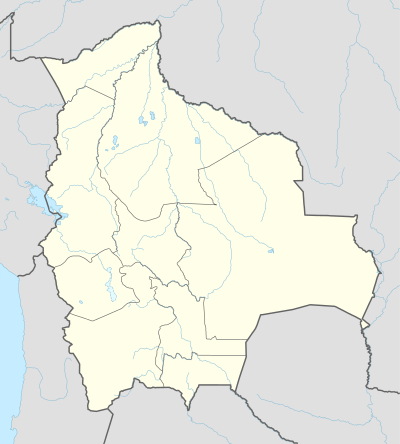
Puerto Suárez International Airport (IATA: PSZ, ICAO: SLPS), also known as Capitán Av. Salvador Ogaya G. Airport, is an airport serving Puerto Suárez, a city in the Santa Cruz Department of Bolivia. The airport is in the easternmost part of Bolivia, near the border with Brazil.
Puerto Suárez International Airport Capitán Av. Salvador Ogaya G. Airport | |||||||||||
|---|---|---|---|---|---|---|---|---|---|---|---|
| Summary | |||||||||||
| Airport type | Public | ||||||||||
| Location | Puerto Suárez, Bolivia | ||||||||||
| Elevation AMSL | 440 ft / 134 m | ||||||||||
| Coordinates | 18°58′30″S 057°49′14″W | ||||||||||
| Map | |||||||||||
 PSZ Location of airport in Bolivia | |||||||||||
| Runways | |||||||||||
| |||||||||||
The Puerto Suarez non-directional beacon (Ident: PSZ) is located on the field.[3]
Airlines and destinations
| Airlines | Destinations |
|---|---|
| Línea Aérea Amaszonas | Santa Cruz de la Sierra |
gollark: The devtools thing is nice I guess but minor.
gollark: You end up having to do extra work on each end to translate all the getThing, updateThing etc functions to and from the HTTP stuff.
gollark: You can handle resources nicely with function calls by having getThing or setThing or whatever, you can't do it the other way round.
gollark: I like the statelessness thing, but not the resource-oriented thing.
gollark: Also also, people cannot actually agree on what it is and what it means you should do half the time.
References
- Airport information for Puerto Suárez Airport at Great Circle Mapper.
- Google Maps - Puerto Suárez
- Puerto Suarez NDB
External links
- Puerto Suárez Airport at OpenStreetMap
- Puerto Suárez Airport at OurAirports
- Aeronautical chart and airport information for Puerto Suárez Airport at SkyVector
- Airport information for Puerto Suárez Airport at World Aero Data. Data current as of October 2006.
- Accident history for Puerto Suárez Airport at Aviation Safety Network
- Current weather for Puerto Suárez Airport at NOAA/NWS
This article is issued from Wikipedia. The text is licensed under Creative Commons - Attribution - Sharealike. Additional terms may apply for the media files.