Chimoré Airport
Chimoré Airport (Spanish: Aeropuerto Chimoré, (IATA: CCA, ICAO: SLHI)) is an airport serving Chimoré, a town in the Cochabamba Department of Bolivia.
Chimoré Airport | |||||||||||
|---|---|---|---|---|---|---|---|---|---|---|---|
| Summary | |||||||||||
| Airport type | Public | ||||||||||
| Serves | Chimoré, Bolivia | ||||||||||
| Elevation AMSL | 875 ft / 267 m | ||||||||||
| Coordinates | 16°59′20″S 65°08′30″W | ||||||||||
| Map | |||||||||||
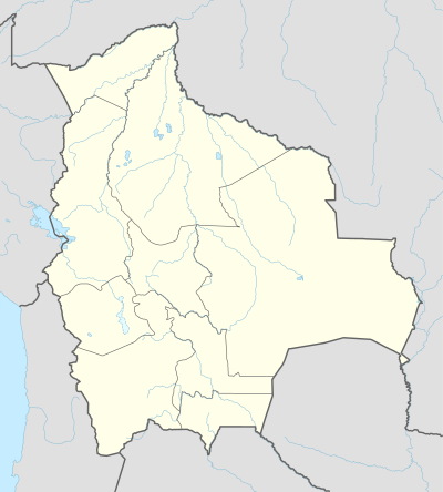
 CCA Location of Chimoré Airport in Bolivia | |||||||||||
| Runways | |||||||||||
| |||||||||||
The airport is beside a bend in the Chimoré River. The runway length includes a 895 metres (2,936 ft) displaced threshold on Runway 35.[4]
The airport was constructed at a cost of US$40 million to the tax payer.
Airlines and destinations
| Airlines | Destinations |
|---|---|
| Boliviana de Aviación | Cochabamba[5] |
gollark: MOSFETs better.
gollark: Yes, these people act as electrical switches.
gollark: Isn't it transit or transition or apiotransitioform?
gollark: Why would we NOT?
gollark: Zig is specified as summoning only nasal *imps*.
References
- Airport record for Chimoré Airport at Landings.com. Retrieved 2013-09-02
- Google (2013-09-02). "location of Chimoré Airport" (Map). Google Maps. Google. Retrieved 2013-09-02.
- Airport information for Chimoré Airport at Great Circle Mapper.
- "Chimoré Airport runway". Google Maps. Google. Retrieved 3 April 2019.
- BOA Chimoré service routesonline.com
External links
- OpenStreetMap - Chimoré
- OurAirports - Chimoré
- FallingRain - Chimoré Airport
- Accident history for Chimore Airport at Aviation Safety Network
This article is issued from Wikipedia. The text is licensed under Creative Commons - Attribution - Sharealike. Additional terms may apply for the media files.