Tigres Strait
The Tigres Strait, formerly known as Tigres Bay or Great Fish Bay, is a strait in Angola, located in Namibe Province, serving as a separation between the Angolan mainland and the Tigres Island.[2][3]
| Tigres Strait | |
|---|---|
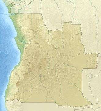 Tigres Strait Location in Angola | |
| Coordinates | 16°38′S 11°46′E |
| Native name | Estreito dos Tigres |
| Ocean/sea sources | Atlantic Ocean |
| Basin countries | Angola |
| Max. length | 35 km (22 mi) |
| Max. width | 9 km (5.6 mi) |
| Islands | Tigres Island |
| References | [1] |
Geography
It once had a small peninsula on its eastern side, with its isthmus in the south and a well established fishing village named Saint Martin of the Tigers (in Portuguese: São Martinho dos Tigres). The ocean broke through the isthmus of the peninsula in 1962 and the water line was severed.[4] Tigres became an island overnight, Tigres Island, the largest island of Angola.[5]
Currently most of the area of the former bay has become a strait between the island and the mainland. Of the original bay only a small inlet open to the north —the Saco dos Tigres— remains at the southern end.[6]
See also
References
- GoogleEarth
- "Baia dos Tigres". Mapcarta. Retrieved 10 October 2016.
- Baía dos Tigres é uma aldeia fantasma. Jornal de Angola. 10 de janeiro de 2019.
- "Cool Waters". sites.google.com. Retrieved 2017-07-13.
- "Ilha dos Tigres". Mapcarta. Retrieved 10 October 2016.
- "Saco dos Tigres". Mapcarta. Retrieved 14 October 2016.