South River State Forest
South River State Forest is located in Conway, Massachusetts. The forest is managed by the Department of Conservation and Recreation (DCR).
| South River State Forest | |
|---|---|
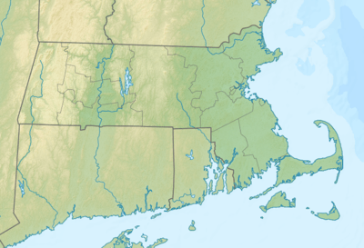
 Location of South River State Forest | |
| Location | Franklin County, Massachusetts, United States |
| Coordinates | 42°33′27″N 72°41′4″W |
| Elevation | 243 ft (74 m) |
| Operator | Massachusetts Department of Conservation and Recreation |
| U.S. Geological Survey Geographic Names Information System: South River State Forest | |
Description
The South River State Forest consists of two separate sections - one adjacent to Bardwell's Ferry Bridge and the other where the old Conway Electric Street Railway met the New York, New Haven and Hartford Railroad line. Its name comes from the river that runs through it, part of the Deerfield River watershed.
The Mahican-Mohawk Trail runs through the park, often following the location of the abandoned New York, New Haven and Hartford Railroad.
Recreational opportunities
- Fishing
- Hiking
- Hunting (restricted)
- Picnicking
- Skiing (Cross-Country)
- Swimming
- Walking Trails
gollark: *MY BRAIN HURTS*
gollark: A mod for schematicky stuff.
gollark: I was going to use actual schematica.
gollark: Aargh my brain, this is so hard to reason about.
gollark: Wait, I have an idea, activate CCEmuX
See also
- List of Massachusetts state forests
- List of Massachusetts State Parks
This article is issued from Wikipedia. The text is licensed under Creative Commons - Attribution - Sharealike. Additional terms may apply for the media files.