Mount Tom State Reservation
Mount Tom State Reservation encompasses the Mount Tom Range and is located in the Connecticut River Valley region of Massachusetts, just north of the city of Springfield. The reservation is noted for its biologic diversity, high cliffs, and rugged scenery.
| Mount Tom State Reservation | |
|---|---|
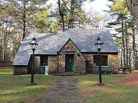 Visitors Center | |
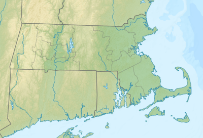 Location in Massachusetts | |
| Location | Hampden, Hampshire, Massachusetts, United States |
| Coordinates | 42°16′7.8″N 72°37′32.4″W |
| Area | 1,967 acres (7.96 km2)[1] |
| Elevation | 627 ft (191 m)[2] |
| Established | Unspecified |
| Operator | Massachusetts Department of Conservation and Recreation |
| Website | Mount Tom State Reservation |
Activities and amenities
Recreational activities include hiking, picnicking, canoeing, fishing, cross-country skiing, snowshoeing, and ice skating. The 110-mile (180 km) Metacomet-Monadnock Trail passes through the reservation as do several low-profile seasonal auto roads. The reservation is also a popular place to observe seasonal raptor migrations.[3]
gollark: My ideas are all good, yes.
gollark: Aha. I had the orbital X-ray lasers scan your computer. I see now why the hydrogen atoms are produced, although this seems like a design flaw.
gollark: Wrong.
gollark: Wrong.
gollark: Yes you did.
References
- "2012 Acreage Listing" (PDF). Department of Conservation and Recreation. April 2012. Retrieved January 19, 2014.
- "Mount Tom State Reservation". Geographic Names Information System. United States Geological Survey.
- "Mount Tom State Reservation". MassParks. Executive Office of Energy and Environmental Affairs. Retrieved August 20, 2013.
External links
- Mount Tom State Reservation Department of Conservation and Recreation
- Mount Tom State Reservation Trail Map Department of Conservation and Recreation
| |||||||||||||||||
| |||||||||||||||||
| |||||||||||||||||
| |||||||||||||||||
| |||||||||||||||||
| |||||||||||||||||
| |||||||||||||||||
| |||||||||||||||||
| Authority control |
|
|---|
This article is issued from Wikipedia. The text is licensed under Creative Commons - Attribution - Sharealike. Additional terms may apply for the media files.