Scampton
Scampton is a village and civil parish in the West Lindsey district of Lincolnshire, England. The population of the civil parish including Brampton and Broadholme at the 2011 census was 1,358.[1] It is situated 5 miles (8.0 km) north from Lincoln, 10 miles (16.1 km) south-east from Gainsborough, and west from the A15 road.

| Scampton | |
|---|---|
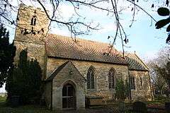
 Church of St John the Baptist, Scampton | |
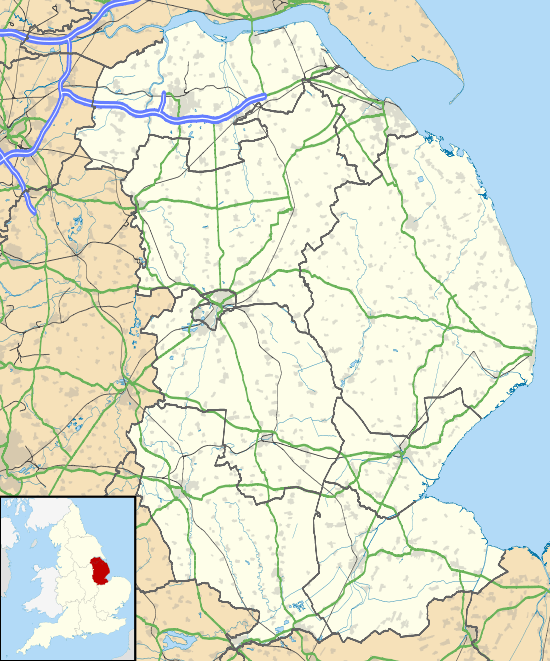
 Scampton Location within Lincolnshire | |
| Population | 1,358 (2011) |
| OS grid reference | SK949793 |
| • London | 130 mi (210 km) S |
| Civil parish |
|
| District | |
| Shire county | |
| Region | |
| Country | England |
| Sovereign state | United Kingdom |
| Post town | Lincoln |
| Postcode district | LN1 |
| Police | Lincolnshire |
| Fire | Lincolnshire |
| Ambulance | East Midlands |
| UK Parliament | |
In the civil parish, between the village and the A15, is RAF Scampton. The airfield first opened in 1916 as Home Defence Flight Station Brattleby, becoming Scampton the following year, and then closing in 1919; it re-opened in 1936 as RAF Scampton.[2]
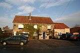
The Dambusters Inn on High Street contains RAF and Second World War memorabilia.[3]
Scampton church of St John the Baptist is mainly 18th century with parts from the 17th century. In its churchyard are buried many service war dead, 64 British Commonwealth and 8 German.[4]
The village school is Scampton Church of England Primary School, which dates from 1870.
References
- "Civil parish population 2011". Neighbourhood Statistics. Office for National Statistics. Retrieved 23 April 2016.
- "RAF Scampton". Mysteriousbritain.co.uk. Archived from the original on 6 October 2012. Retrieved 6 March 2012.
- "Dambusters pub back in business"; Thisislincolnshire.co.uk. Retrieved 21 May 2012
- "Commonwealth War Graves Commission"; Commonwealth War Graves www.cwgc.org retrieved 18 April 2013
External links

- Scampton Church of England Primary School web site