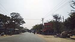
Sadaung, Sagaing Township
Sadaung is a small town in Sagaing District in the southeast of the Sagaing Division in Burma. It is located north of Okhnebin.[1]
Sadaung ဆားတောင် | |
|---|---|
Town | |
 | |
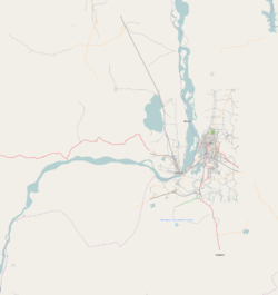 Sadaung Location in the Sagaing area and in relation to the Irrawaddy River. | |
| Coordinates: 22°9′30″N 95°45′40″E | |
| Country | |
| Region | Sagaing Region |
| District | Sagaing District |
| Township | Sagaing Township |
| Time zone | UTC+6.30 (MST) |
Notes
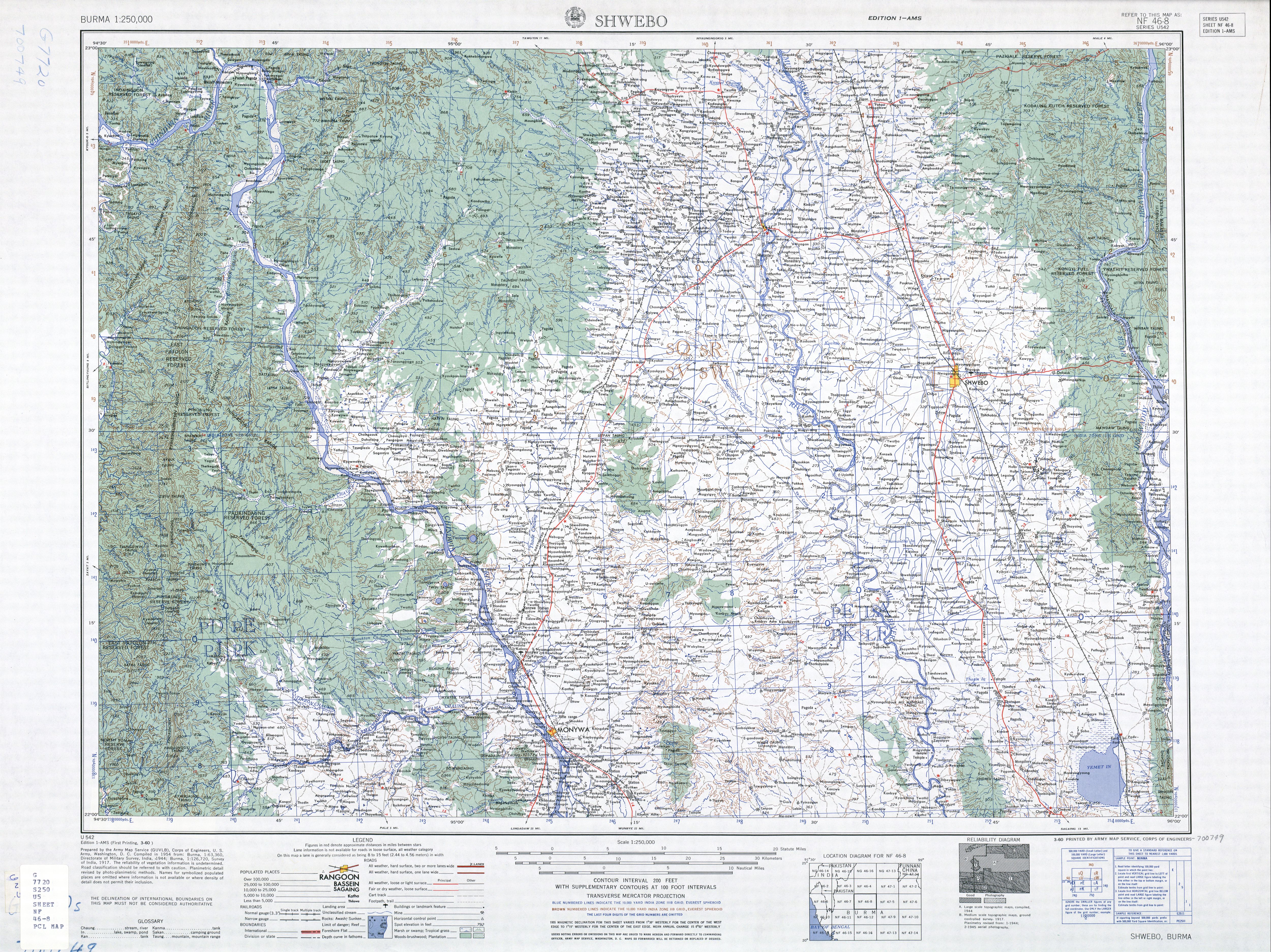
- Burma 1:250,000 topographic map, Series U542, NF 46-8 Shwebo U.S. Army Map Service, March 1960
gollark: ...
gollark: ++delete LyricLy's sentences
gollark: Ħººººº...
gollark: This satisfies nobody whatsoever.
gollark: > The Rømer scale (Danish pronunciation: [ˈʁœˀmɐ]; notated as °Rø), also known as Romer or Roemer, is a temperature scale named after the Danish astronomer Ole Christensen Rømer, who proposed it in 1701. It is based on the freezing point of pure water being 7.5 degrees and the boiling point of water as 60 degrees.
External links
Capital: Sagaing | ||
| Hkamti District |
| .svg.png) 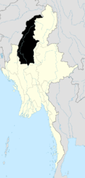 |
| Kanbalu District |
| |
| Kale District | ||
| Katha District | ||
| Mawlaik District | ||
| Monywa District | ||
| Sagaing District | ||
| Shwebo District | ||
| Tamu District |
| |
| Yinmabin District |
| |
| Naga Self-Administered Zone |
| |
This article is issued from Wikipedia. The text is licensed under Creative Commons - Attribution - Sharealike. Additional terms may apply for the media files.