Rycroft, Alberta
Rycroft is a village in northern Alberta, Canada. It is located 68 km north of the city of Grande Prairie and 7 km east of Spirit River. Dunvegan Provincial Park is located 20 km north of the community.
Rycroft | |
|---|---|
| Village of Rycroft | |
Strip mall and tipi in Rycroft | |
 Seal | |
| Motto(s): Hub of the Peace | |
 Location in M.D. of Spirit River | |
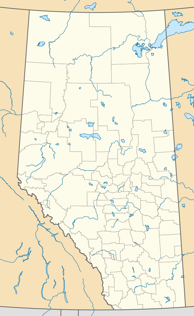
 Rycroft Location of Rycroft in Alberta | |
| Coordinates: 55°45′28″N 118°41′48″W | |
| Country | Canada |
| Province | Alberta |
| Region | Northern Alberta |
| Planning region | Upper Peace |
| Municipal district | Municipal District of Spirit River No. 133 |
| Incorporated[1] | |
| • Village | March 15, 1944 |
| Government | |
| • Mayor | Diahann Potrebenko |
| • Governing body | Rycroft Village Council |
| Area (2016)[3] | |
| • Land | 1.92 km2 (0.74 sq mi) |
| Elevation | 600 m (2,000 ft) |
| Population (2016)[3] | |
| • Total | 612 |
| • Density | 319/km2 (830/sq mi) |
| Time zone | UTC-7 (MST) |
| Highways | 2 49 |
| Waterways | Spirit River |
| Website | Official website |
The post office was originally known as Spirit River. The name was changed to Roycroft in 1920 to honour R.H. Roycroft, a prominent local citizen, and was altered to Rycroft in 1933.[4]
Demographics
| Year | Pop. | ±% |
|---|---|---|
| 1946 | 272 | — |
| 1951 | 372 | +36.8% |
| 1956 | 424 | +14.0% |
| 1961 | 500 | +17.9% |
| 1966 | 539 | +7.8% |
| 1971 | 461 | −14.5% |
| 1976 | 533 | +15.6% |
| 1981 | 649 | +21.8% |
| 1986 | 672 | +3.5% |
| 1991 | 634 | −5.7% |
| 1996 | 667 | +5.2% |
| 2001 | 609 | −8.7% |
| 2006 | 638 | +4.8% |
| 2011 | 628 | −1.6% |
| 2016 | 612 | −2.5% |
| Source: Statistics Canada [5][6][7][8][9][10][11][12][3] | ||
In the 2016 Census of Population conducted by Statistics Canada, the Village of Rycroft recorded a population of 612 living in 274 of its 316 total private dwellings, a -2.5% change from its 2011 population of 628. With a land area of 1.92 km2 (0.74 sq mi), it had a population density of 318.8/km2 (825.6/sq mi) in 2016.[3]
In the 2011 Census, the Village of Rycroft had a population of 628 living in 280 of its 310 total dwellings, a -1.6% change from its 2006 population of 638. With a land area of 1.69 km2 (0.65 sq mi), it had a population density of 371.6/km2 (962.4/sq mi) in 2011.[13]
See also
- List of communities in Alberta
- List of villages in Alberta
- Peace Country
References
- "Location and History Profile: Village of Rycroft" (PDF). Alberta Municipal Affairs. October 21, 2016. p. 534. Retrieved October 23, 2016.
- "Municipal Officials Search". Alberta Municipal Affairs. September 22, 2017. Retrieved September 25, 2017.
- "Population and dwelling counts, for Canada, provinces and territories, and census subdivisions (municipalities), 2016 and 2011 censuses – 100% data (Alberta)". Statistics Canada. February 8, 2017. Retrieved February 8, 2017.
- Hamilton, William (1978). The Macmillan Book of Canadian Place Names. Toronto: Macmillan. p. 31. ISBN 0-7715-9754-1.
- "Table 5: Population of urban centres, 1916-1946, with guide to locations". Census of the Prairie Provinces, 1946. Volume I: Population. Ottawa: Dominion Bureau of Statistics. 1949. pp. 397–400.
- "Table 6: Population by sex, for census subdivisions, 1956 and 1951". Census of Canada, 1956. Volume I: Population. Ottawa: Dominion Bureau of Statistics. 1958.
- "Table 9: Population by census subdivisions, 1966 by sex, and 1961". 1966 Census of Canada. Western Provinces. Population: Divisions and Subdivisions. Ottawa: Dominion Bureau of Statistics. 1967.
- "Table 3: Population for census divisions and subdivisions, 1971 and 1976". 1976 Census of Canada. Census Divisions and Subdivisions, Western Provinces and the Territories. Population: Geographic Distributions. Ottawa: Statistics Canada. 1977.
- "Table 2: Census Subdivisions in Alphabetical Order, Showing Population Rank, Canada, 1981". 1981 Census of Canada. Census subdivisions in decreasing population order. Ottawa: Statistics Canada. 1982. ISBN 0-660-51563-6.
- "Table 2: Population and Dwelling Counts, for Census Divisions and Census Subdivisions, 1986 and 1991 – 100% Data". 91 Census. Population and Dwelling Counts – Census Divisions and Census Subdivisions. Ottawa: Statistics Canada. 1992. pp. 100–108. ISBN 0-660-57115-3.
- "Population and Dwelling Counts, for Canada, Provinces and Territories, and Census Divisions, 2001 and 1996 Censuses – 100% Data (Alberta)". Statistics Canada. Retrieved 2019-05-25.
- "Population and dwelling counts, for Canada, provinces and territories, and census subdivisions (municipalities), 2006 and 2001 censuses – 100% data (Alberta)". Statistics Canada. January 6, 2010. Retrieved 2019-05-25.
- "Population and dwelling counts, for Canada, provinces and territories, and census subdivisions (municipalities), 2011 and 2006 censuses (Alberta)". Statistics Canada. February 8, 2012. Retrieved February 8, 2012.