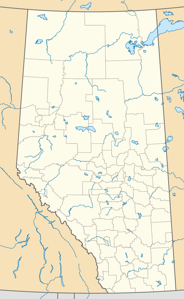
Rockyford, Alberta
Rockyford is a village in southern Alberta, Canada. It is located 88 km east of the city of Calgary and 56 km southwest of Drumheller. It was founded in 1913 upon the arrival of the Canadian National Railway.[3]
Rockyford | |
|---|---|
| Village of Rockyford | |
 Rockyford Location of Rockyford | |
| Coordinates: 51°14′2″N 113°08′18″W | |
| Country | |
| Province | |
| Region | Southern Alberta |
| Census Division | No. 5 |
| Municipal district | Wheatland County |
| Incorporated[1] | |
| • Village | March 28, 1919 |
| Government | |
| • Mayor | Darcy J. Burke |
| • Governing body | Rockyford Village Council |
| Area (2016)[2] | |
| • Land | 1.08 km2 (0.42 sq mi) |
| Elevation | 850 m (2,790 ft) |
| Population (2016)[2] | |
| • Total | 316 |
| • Density | 291.8/km2 (756/sq mi) |
| Time zone | UTC-7 (MST) |
| Highways | 21 |
| Waterways | Serviceberry Creek |
| Website | Official website |
Demographics
In the 2016 Census of Population conducted by Statistics Canada, the Village of Rockyford recorded a population of 316 living in 144 of its 151 total private dwellings, a -2.8% change from its 2011 population of 325. With a land area of 1.08 km2 (0.42 sq mi), it had a population density of 292.6/km2 (757.8/sq mi) in 2016.[2]
In the 2011 Census, the Village of Rockyford had a population of 325 living in 137 of its 149 total dwellings, a -6.9% change from its 2006 population of 349. With a land area of 1.08 km2 (0.42 sq mi), it had a population density of 300.9/km2 (779.4/sq mi) in 2011.[4]
References
- "Location and History Profile: Village of Rockyford" (PDF). Alberta Municipal Affairs. October 21, 2016. p. 512. Retrieved October 23, 2016.
- "Population and dwelling counts, for Canada, provinces and territories, and census subdivisions (municipalities), 2016 and 2011 censuses – 100% data (Alberta)". Statistics Canada. February 8, 2017. Retrieved February 8, 2017.
- Dougan, Harvey (1979). The English Colony Nightingale and District. Nightingale, Alberta: Nightingale Women's Institute. p. 58.
- "Population and dwelling counts, for Canada, provinces and territories, and census subdivisions (municipalities), 2011 and 2006 censuses (Alberta)". Statistics Canada. February 8, 2012. Retrieved February 8, 2012.