Rashidan District
Rashidan District is a new district in Afghanistan; it was created from the larger Jaghatu district.
Rashidan رشیدان | |
|---|---|
District | |
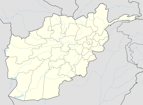
 Rashidan Location within Afghanistan[1] | |
| Coordinates: 33°42′N 68°09′E | |
| Country | |
| Province | Ghazni Province |
| Area | |
| • Total | 394 km2 (152 sq mi) |
| Population (2003)[2] | |
| • Total | 22,280 |

Administration
The capital appears to be Rashidan, a new township near Hussain Khel and Qulgina.
Geography
Healthcare
Education
After 2001 when Taliban fled the country, most of people sent their children to schools and universities. Rashidan district has one high school (Shahid Mohammad Azim High School) and around four secondary schools, which are located at different spots of the district. Shahid Mohammad Azim high school is located in Hussainkhel village near to the Rashidan district building. Currently (2019) there are many young lecturers who teach at national universities of Afghanistan, Professor Khaliq Rashid who is from this district teaches at Jawaher Lal Nehru University in Delhi, India. Many more are holding bachelor's degrees in different fields and are currently employed by the government of Afghanistan.
Demographics
22,280 people are living in the villages of the district,[2] with 96% of them Pashtun and 4% Hazara.[3]
Water Shortage
The continuing drought is the main problem of the district. In 2002, only 6% of arable land was farmed.[3] The lack of water make people leave their villages and go to other districts or abroad. In latest years with increase in the winter snowfalls the water level in this district has increased.
Trade and Commerce
People of this district are mostly engaged in agriculture, carpentry, and construction. Some people leave the district in summers and go to neighboring cities and outside of the country mostly Iran and Pakistan as labors and foremen.
Infrastructure
Natural Resources
See also
External links
References
- "District Names". National Democratic Institute. Retrieved 6 November 2015.
- "Summary of District Development Plan" (PDF). Rashidan District Development Assembly. Retrieved 6 November 2015.
- "District Profile" (PDF). UNHCR. Archived from the original (PDF) on 3 March 2016. Retrieved 6 November 2015.