Guzara District
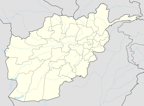
Guzara (Gozareh) District[2] is situated in the center of Herat Province, Afghanistan, 10 km south of Herat. It borders Injil District to the north, Pashtun Zarghun District to the east, Adraskan District to the south and Zinda Jan District to the west. The district center Guzara (Gozareh) is on the main road Herat-Kandahar.
Guzara گذره | |
|---|---|
District | |
 Guzara Location within Afghanistan | |
| Coordinates: 34°07′32″N 62°14′07″E | |
| Country | |
| Province | Herat Province |
| Area | |
| • Total | 2,000 km2 (800 sq mi) |
| Population (2012)[1] | |
| • Total | 142,700 |
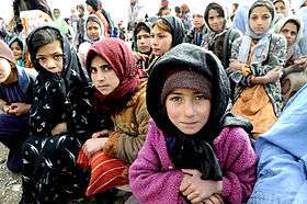
Children of Guzara District in 2009
References
- "Settled Population of Herat Province" (PDF). Central Statistics Organization. Retrieved 11 January 2016.
- "Summary of District Development Plan" (PDF). Guzara District Development Assembly. Retrieved 11 January 2016.
External links
![]()
| Capital | 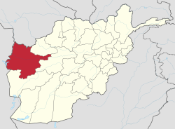 | |
|---|---|---|
| Districts |
| |
| Cities | ||
| Landmarks |
| |
This article is issued from Wikipedia. The text is licensed under Creative Commons - Attribution - Sharealike. Additional terms may apply for the media files.