Pigeon Springs, Washington
Pigeon Springs is a place in Cowlitz County, Washington. Pigeon Springs is located east of the city of Kalama and along the Kalama River. Pigeon Springs is reached by traveling 16.8 miles (27.0 km) east on Kalama River Road from exit 32 of Interstate 5. The springs were a source of bottled mineral water.[2]
Pigeon Springs, Washington | |
|---|---|
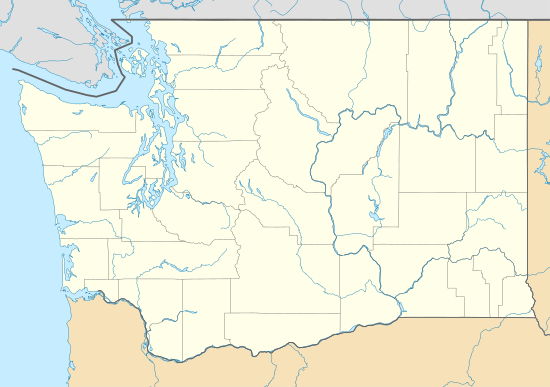 Pigeon Springs Location in the state of Washington  Pigeon Springs Pigeon Springs (the United States) | |
| Coordinates: 46°03′11″N 122°37′26″W | |
| Country | United States |
| State | Washington |
| County | Cowlitz |
| Elevation | 141 m (463 ft) |
| Time zone | UTC−8 (PST) |
| • Summer (DST) | UTC−7 (PDT) |
| ZIP code | 98625 |
| Area code(s) | 360 |
| FIPS code | 53-54300 |
| GNIS feature ID | 1511228 |
Pigeon Springs is located 22.7 miles (36.5 km) southwest of Mount St. Helens. The eruption of Mount St. Helens on May 18, 1980, reached the Cowlitz River and Pigeon Springs.
Geography
Pigeon Springs is located at 46°03′11″N 122°37′26″W (46.0531675, -122.6239926).[3]
gollark: What's going to be ïn the metadata files änyway?
gollark: Also, it would work better with removable media.
gollark: Ish.
gollark: Relatively low clutter and it's more efficient than one übertable.
gollark: Like I said, I'd favour the idea of one metadata file containing a table or whatever per directory.
References
- "USGS—Pigeon Springs, Washington". Retrieved 14 June 2014.
- Luck, Marissa. "McMenamins historian highlights Kalama's past". Longview Daily News. Retrieved 2019-12-20.
- "2013 U.S. Gazetteer Files". census.gov. Retrieved 14 June 2014.
Municipalities and communities of Cowlitz County, Washington, United States | ||
|---|---|---|
| Cities | 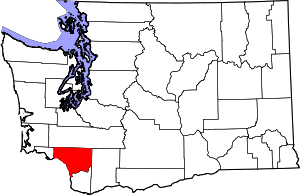 Map of Washington highlighting Cowlitz County | |
| CDPs | ||
| Unincorporated communities |
| |
| Footnotes | ‡This populated place also has portions in an adjacent county or counties | |
This article is issued from Wikipedia. The text is licensed under Creative Commons - Attribution - Sharealike. Additional terms may apply for the media files.