Caples Landing, Washington
Caples Landing is an unincorporated community in Cowlitz County, Washington. The Caples Landing community is located 2.54 miles (4.09 km) west of Woodland along Caples Road, on the east shore of Columbia River and across the river from Columbia City, Oregon. The Caples Landing community is part of the Woodland School District, a K-12 school district of about 2,200 students.
Caples Landing, Washington | |
|---|---|
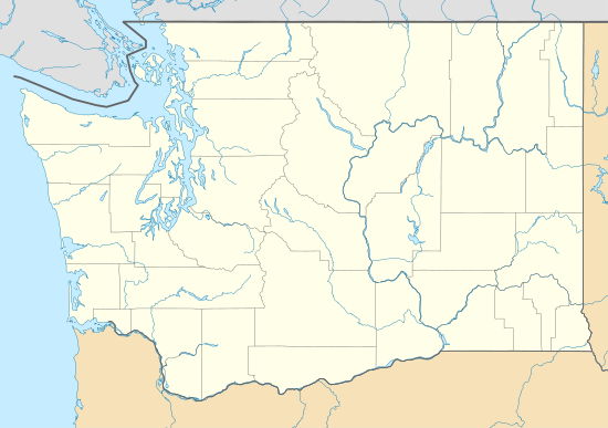 Caples Landing Location in the state of Washington  Caples Landing Caples Landing (the United States) | |
| Coordinates: 45°54′18″N 122°48′10″W | |
| Country | United States |
| State | Washington |
| County | Cowlitz |
| Elevation | 5 m (16 ft) |
| Time zone | UTC−8 (PST) |
| • Summer (DST) | UTC−7 (PDT) |
| ZIP code | 98674 |
| Area code(s) | 360 |
| GNIS feature ID | 1510857 |
Geography
Caples Landing is located at 45°54′18″N 122°48′10″W (45.9051144, -122.8028816).[2]
gollark: ?tag create top2vec The assumption the algorithm makes is that many semantically similar documents are indicative of an underlying topic. The first step is to create a joint embedding of document and word vectors. Once documents and words are embedded in a vector space the goal of the algorithm is to find dense clusters of documents, then identify which words attracted those documents together. Each dense area is a topic and the words that attracted the documents to the dense area are the topic words.
gollark: As planed.
gollark: You need a ™ symbol or you will not have a ™ symbol.
gollark: ↑ this explains what is really going on
gollark: ?tag bm25
External links
References
- "USGS—Caples Landing, Washington". Retrieved 15 June 2014.
- "2013 U.S. Gazetteer Files". census.gov. Retrieved 15 June 2014.
Municipalities and communities of Cowlitz County, Washington, United States | ||
|---|---|---|
| Cities | 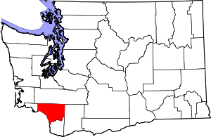 Map of Washington highlighting Cowlitz County | |
| CDPs | ||
| Unincorporated communities |
| |
| Footnotes | ‡This populated place also has portions in an adjacent county or counties | |
This article is issued from Wikipedia. The text is licensed under Creative Commons - Attribution - Sharealike. Additional terms may apply for the media files.