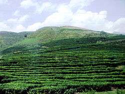
Phú Thọ
Phú Thọ (![]()
Phú Thọ Thị xã Phú Thọ | |
|---|---|
| Phú Thọ Town | |
 | |
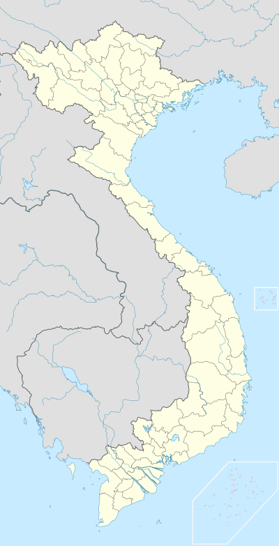 Phú Thọ Location of Phú Thọ within Vietnam | |
| Coordinates: 21°24′1″N 105°13′21″E | |
| Country | |
| Province | Phú Thọ |
| Area | |
| • Total | 24.9 sq mi (64.6 km2) |
| Population (2013) | |
| • Total | 91,650 |
| Time zone | UTC+7 (Indochina Time) |
Geography
Phú Thọ is bordered by Phù Ninh to the north, Thanh Ba to the southwest, Tam Nông to the south and Lâm Thao to the southeast.
gollark: JSP is serverside. AAAAAAAARGH. WHY.
gollark: Also, wow, your formatting is horrible.
gollark: ???!?!?!?! AARGH
gollark: And does JS-parser-like stuff.
gollark: It's called "JSP".
References
- "Districts of Vietnam". Statoids. Archived from the original on 2009-03-01. Retrieved March 23, 2009.
| Bắc Giang Province | 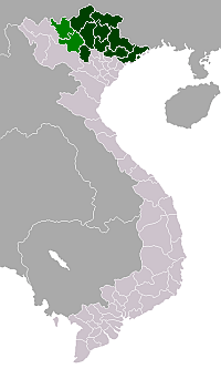 | |
|---|---|---|
| Bắc Kạn Province | ||
| Cao Bằng Province | ||
| Hà Giang Province | ||
| Lạng Sơn Province | ||
| Phú Thọ Province | ||
| Quảng Ninh Province |
| |
| Thái Nguyên Province | ||
| Tuyên Quang Province | ||
※ denotes provincial seat. | ||
This article is issued from Wikipedia. The text is licensed under Creative Commons - Attribution - Sharealike. Additional terms may apply for the media files.