Ossun, Louisiana
Ossun is an unincorporated community and census-designated place in Lafayette Parish, Louisiana, United States. As of the 2010 census, the population was 2,144.[1]
Ossun, Louisiana | |
|---|---|
 Ossun  Ossun | |
| Coordinates: | |
| Country | |
| States | |
| Parish | Lafayette |
| Area | |
| • Total | 8.79 km2 (3.39 sq mi) |
| • Land | 8.79 km2 (3.39 sq mi) |
| • Water | 0.0 km2 (0.0 sq mi) |
| Elevation | 12 m (39 ft) |
| Population (2010) | |
| • Total | 2,144 |
| • Density | 243.9/km2 (632/sq mi) |
| Time zone | UTC-6 (CST) |
| • Summer (DST) | UTC-5 (CDT) |
| Area code(s) | 337 |
| FIPS code | 22-58360 |
The town is named after the area of Ossun, France, near Lourdes.
Geography
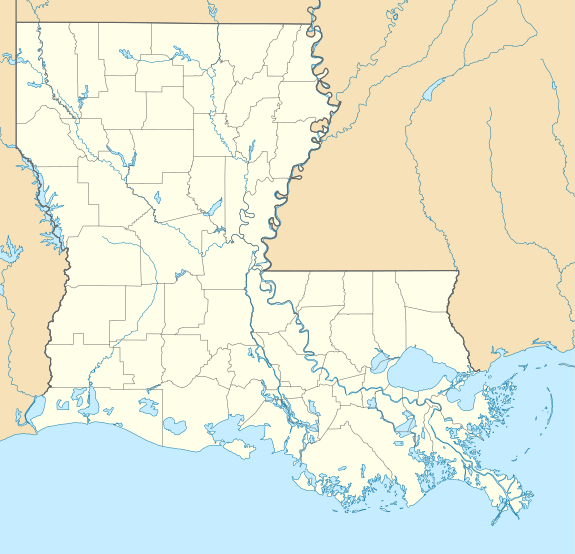
Ossun is in northwestern Lafayette Parish, around the intersection of Louisiana Highway 93 and Louisiana Highway 723. It is 8 miles (13 km) northwest of Lafayette, the parish seat, 3 miles (5 km) north of Scott, and 6 miles (10 km) southwest of Carencro.
According to the U.S. Census Bureau, the Ossun CDP has an area of 3.39 square miles (8.79 km2), all of it recorded as land.[2]
gollark: Calculator with built-in blinding lasers.
gollark: Calculator with PDF rendering on 7 segment display.
gollark: Calculator with static typing.
gollark: Calculator with computational geometric synthesis engine.
gollark: Calculator with inbuilt lisp interpreter.
References
- "Total Population: 2010 Census DEC Summary File 1 (P1), Ossun CDP, Louisiana". data.census.gov. U.S. Census Bureau. Retrieved February 19, 2020.
- "U.S. Gazetteer Files: 2019: Places: Louisiana". U.S. Census Bureau Geography Division. Retrieved February 19, 2020.
Municipalities and communities of Lafayette Parish, Louisiana, United States | ||
|---|---|---|
Parish seat: Lafayette | ||
| Cities | 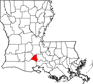 | |
| Town | ||
| CDPs | ||
| Other unincorporated communities | ||
| Footnotes | ‡This populated place also has portions in an adjacent parish or parishes | |

This article is issued from Wikipedia. The text is licensed under Creative Commons - Attribution - Sharealike. Additional terms may apply for the media files.