Orito Airport
Orito Airport (ICAO: SKOR) is an airport serving the town of Orito in the Putumayo Department of Colombia.
Orito Airport | |||||||||||
|---|---|---|---|---|---|---|---|---|---|---|---|
| Summary | |||||||||||
| Airport type | Public | ||||||||||
| Serves | Orito, Colombia | ||||||||||
| Elevation AMSL | 1,132 ft / 345 m | ||||||||||
| Coordinates | 0°40′00″N 76°52′37″W | ||||||||||
| Map | |||||||||||
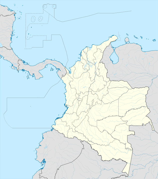 SKOR Location of the airport in Colombia | |||||||||||
| Runways | |||||||||||
| |||||||||||
The airport is adjacent to the town. The Orito non-directional beacon (Ident: ORI) is located 3.8 nautical miles (7.0 km) east of the airport.[3]
See also


- Transport in Colombia
- List of airports in Colombia
References
- Airport information for SKOR at Great Circle Mapper.
- Google Maps - Orito
- ORI NDB
External links
This article is issued from Wikipedia. The text is licensed under Creative Commons - Attribution - Sharealike. Additional terms may apply for the media files.