Ogonnelloe
Ogonnelloe (Irish: Tuath Ó gConaíle, meaning "Land of the Connollys") is a Catholic parish and civil parish in east County Clare, Ireland, situated on the R463 regional road between Scariff and Killaloe and in the surrounding hills.
Ogonnelloe Tuath Ó gConaíle | |
|---|---|
Parish | |
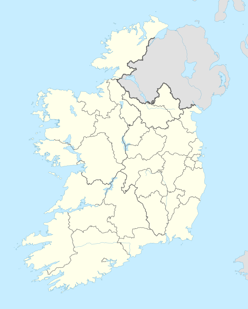 Ogonnelloe Location in Ireland | |
| Coordinates: 52°52′00″N 8°27′11″W | |
| Country | Ireland |
| Province | Munster |
| County | County Clare |
| Area | |
| • Parish | 40.07 km2 (15.47 sq mi) |
| Population (2006) | |
| • Rural | 605 |
| Time zone | UTC+0 (WET) |
| • Summer (DST) | UTC-1 (IST (WEST)) |
| Irish Grid Reference | R688818 |
Location
The parish is in the barony of Tulla. It is 5 miles (8.0 km) northwest of Killaloe on the road to Scarriff. It lies on the south side of Scariff bay, which opens into Lough Derg.[2] Most of the parish lies in a valley, with high hills in the background.[3] The parish covers 5,554 acres (2,248 ha). Most of the land is suitable for farming, but there is some mountain bog. As of 1837 there was the ruins of an old church at Ballybrohan, and the ruins of Cahir castle on a small island about 100 yards (91 m) from the shore. The castle had recently been partially blown up after having been used for illegal distillation.[2]
The parish of Ogonnelloe is in the Roman Catholic Diocese of Killaloe. Churches are St Mary's in Ballybrohan and St Molua's in Ogonnelloe.[4] Townlands are Aughinish, Ballybran, Ballybroghan, Ballyheefy, Ballyhurly, Ballylaghnan, Ballynagleragh, Bealkelly (Eyre), Bealkelly (Purdon), Caher, Carrowcore, Carrowena, Carrowgar, Islandcosgry, Rahena Beg and Rahena More.[5]
People
- Dr. Joseph Stuart, deceased, former President of the GAA (1958–1961).
- Dr. Eleanor Walsh, Chairperson Scarriff Ogonnelloe Camogie Club (1968-).
References
- "Census 2006 - Volume 1 - Population Classified by Area" (PDF). cso.ie. Archived from the original (PDF) on 20 November 2007. Retrieved 12 August 2020.
- Samuel Lewis (1837). "Ogonnilloe". County Clare: A History and Topography. Retrieved 1 April 2014.
- "Barony of: Tulla, Parish: Ogonnelloe, Population: 650". I.T.A. Topographical and General Survey 1942/3. Retrieved 1 April 2014.
- "Ogonnelloe Churches". Diocese of Killaloe. Retrieved 1 April 2014.CS1 maint: ref=harv (link)
- "Map of Ogonnelloe Parish showing Townlands". Clare County Library. Retrieved 1 April 2014.
External links
Places in County Clare | ||
|---|---|---|
| Towns |  | |
| Villages |
| |
| Regions | ||
| Islands | ||
| ||
| Province | |
|---|---|
| Ordinaries | |
| Cathedral church | |
| Parishes | |
| |