Mullaghanattin
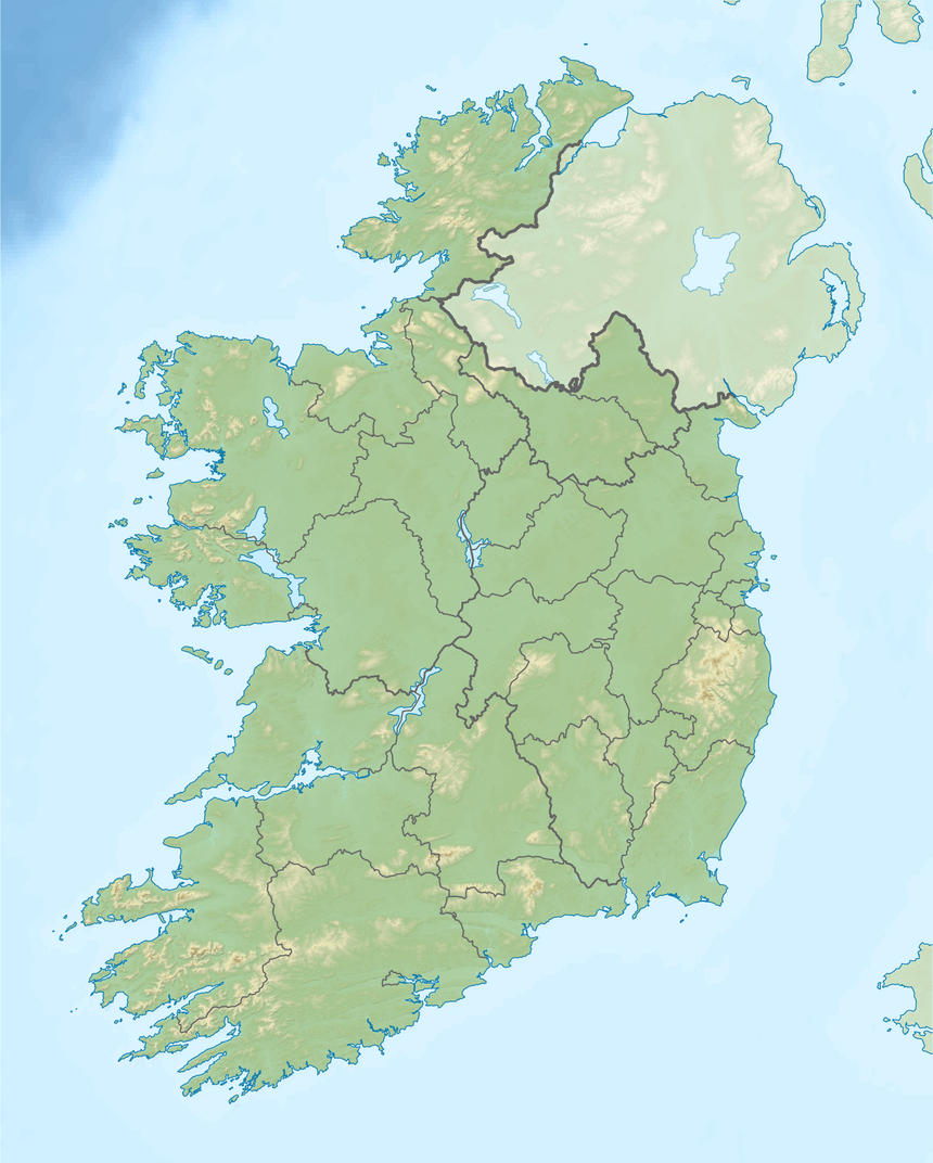
Mullaghanattin (Irish: Mullach an Aitinn, meaning "summit of the gorse"[2]) is a summit of the Dunkerron Mountains, part of the Mountains of the Iveragh Peninsula[3] in County Kerry, Ireland.
| Mullaghanattin | |
|---|---|
| Mullach an Aitinn | |
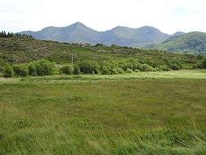 A bog backed by Mullaghanattin | |
| Highest point | |
| Elevation | 773 m (2,536 ft) [1] |
| Prominence | 528 m (1,732 ft) [1] |
| Listing | Marilyn, Hewitt |
| Coordinates | 51°55′58.8″N 9°50′2.4″W |
| Naming | |
| English translation | Summit of the gorse |
| Language of name | Irish |
| Geography | |
 Mullaghanattin | |
| Parent range | Dunkerron Mountains (Mountains of the Iveragh Peninsula) |
| OSI/OSNI grid | V738772 |
| Climbing | |
| Easiest route | scrambling |
Geography
The mountain lies southwest of Stumpa Dúloigh, the highest mountain of the Dunkerron range. With an elevation is 773 metres it is the 58th highest summit in Ireland.
Access to the summit
Mullaghanattin summit can be accessed from Tooreennahone parking, then walking through gentle slopes which become very steep only for the last km.[1]
gollark: You didn't seriously think that a computer could perceive images well enough to detect reposts?
gollark: They aren't bots. They're humans typing very fast.
gollark: Sounds ethical.
gollark: Sound is kind of sort of a mechanical interaction.
gollark: Yes, that text.
References
- "Dunkerron Mountains Area / Mullaghanattin". MountainViews. Ordnance Survey Ireland. Retrieved June 9, 2015.
- Paul Tempan. "Irish Hill and Mountain Names" (PDF). www.mountaineering.ie. Mountaineering Ireland. Retrieved June 9, 2015.
- "Hills and Mountains of Britain and Ireland - Ireland : Iveragh Peninsula". www.walkingclub.org.uk. Saturday Walkers Club. Archived from the original on October 11, 2013. Retrieved June 9, 2015.
External links
Mountains and hills of Munster | |||||||
|---|---|---|---|---|---|---|---|
| Ballyhoura Mountains | 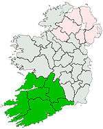 | ||||||
| Boggeragh Mountains | |||||||
| Caha Mountains | |||||||
| Comeragh Mountains | |||||||
| Derrynasaggart Mountains | |||||||
| Dingle Peninsula |
| ||||||
| Galty Mountains | |||||||
| Iveragh Peninsula | |||||||
| Knockmealdown Mountains | |||||||
| MacGillycuddy's Reeks |
| ||||||
| Mangerton Mountains | |||||||
| Shehy Mountains | |||||||
| Silvermine Mountains | |||||||
| Slieve Miskish Mountains | |||||||
| Others |
| ||||||
This article is issued from Wikipedia. The text is licensed under Creative Commons - Attribution - Sharealike. Additional terms may apply for the media files.