Mount Hillary
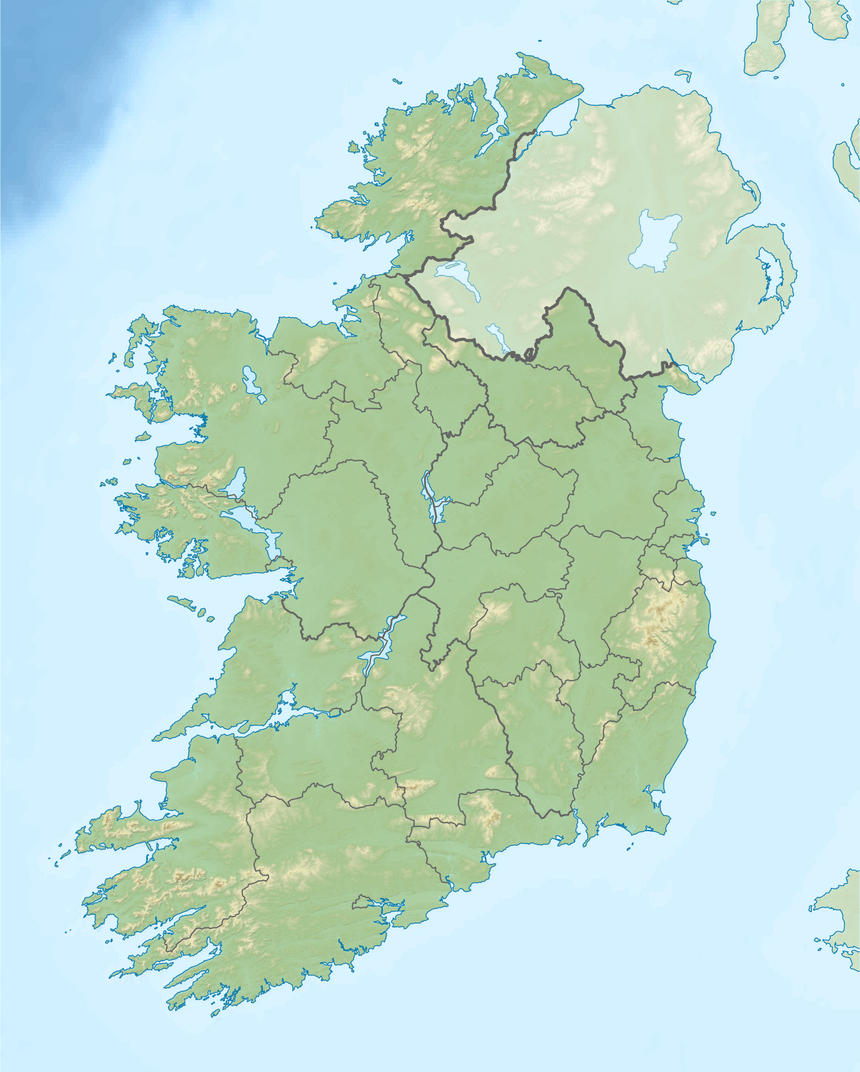
Mount Hillary (Irish: Mullach Allaíre) is a mountain located in north County Cork. It is 391m high.
| Mount Hillary | |
|---|---|
| Mullach Allaíre | |
 Mount Hillary | |
| Highest point | |
| Elevation | 391 m (1,283 ft) [1] |
| Prominence | 176 m (577 ft) [1] |
| Listing | Marilyn |
| Coordinates | 52°07′N 8°50′W |
| Naming | |
| Language of name | Irish |
| Geography | |
| Location | County Cork, Republic of Ireland |
| Parent range | Boggeragh Mountains |
| OSI/OSNI grid | W425956 |
Name
The name Mount Hillary has nothing to do with the forename or surname Hillary. Instead it means 'summit of the partial deafness or echo'. It is also called "Cnoc an Fholair" (Hill of the Eagle) locally.
Transmitter
Mount Hillary is home to the main North Cork transmitter for local services. Red FM's main North Cork transmitter is located near Mallow at Corran Mountain. The multi-city station 4FM's transmitter is located at Bweeng Mountain, 4 km away.
| Frequency | kW | Service |
|---|---|---|
| 96.1 MHz | 0.5 | 96FM |
| 103.7 MHz | 1.25 | C103 (North) |
gollark: ***···***
gollark: If you disagree, you are being influenced by the mind control satellites.
gollark: They're all caused by the Illuminati orbital mind control satellites, silly.
gollark: <@!309787486278909952> EXPLAIN: How do you manage services on "Void" Linux?
gollark: oh <:bees:724389994663247974>
References
- Boggeragh Mountains Area - Mount Hillary Hill , MountainViews.ie
This article is issued from Wikipedia. The text is licensed under Creative Commons - Attribution - Sharealike. Additional terms may apply for the media files.
