Mocopulli Airport
Mocopulli Airport (Aerodromo Mocopulli) (IATA: MHC, ICAO: SCPQ) is an airport serving Dalcahue, a port city on Chiloé Island in the Los Lagos Region of Chile. The airport is 6 kilometres (3.7 mi) northwest of Dalcahue.
Mocopulli Airport | |||||||||||
|---|---|---|---|---|---|---|---|---|---|---|---|
| Summary | |||||||||||
| Airport type | Public | ||||||||||
| Serves | Dalcahue, Chile | ||||||||||
| Elevation AMSL | 528 ft / 161 m | ||||||||||
| Coordinates | 42°20′25″S 73°42′56″W | ||||||||||
| Map | |||||||||||
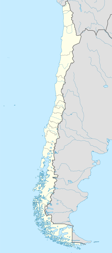 MHC Location of airport in Chile | |||||||||||
| Runways | |||||||||||
| |||||||||||
The Mocopulli VOR-DME (Ident: MPI) is located on the field.[4]
Airline and destinations
| Airlines | Destinations |
|---|---|
| LATAM Chile operated by LATAM Express | Santiago de Chile |
gollark: That's wildly impractical.
gollark: I guess I can wait a week.
gollark: It's claimed that they delete images within a week.
gollark: It has been two (2) minutes. The files remain accessible.
gollark: Let's see if this keeps working.
See also


- Transport in Chile
- List of airports in Chile
References
- Airport record for Mocopulli Airport at Landings.com. Retrieved 2013-09-06
- Google (2013-09-06). "location of Mocopulli Airport" (Map). Google Maps. Google. Retrieved 2013-09-06.
- Airport information for Mocopulli Airport at Great Circle Mapper.
- Mocopulli VOR
External links
- Mocopulli Airport at OpenStreetMap
- Mocopulli Airport at OurAirports
- Aeronautical chart and airport information for Mocopulli Airport at SkyVector
- Mocopulli Airport at FallingRain
- Accident history for Mocopulli Airport at Aviation Safety Network
- Current weather for Mocopulli at NOAA/NWS
This article is issued from Wikipedia. The text is licensed under Creative Commons - Attribution - Sharealike. Additional terms may apply for the media files.