Diego Aracena International Airport
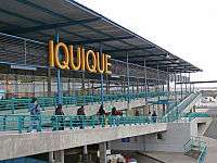
Diego Aracena International Airport (Spanish: Aeropuerto Internacional Diego Aracena) (IATA: IQQ, ICAO: SCDA) is an airport serving Iquique, capital of the Tarapacá Region in Chile. The airport is on the Pacific coast 48 kilometres (30 mi) south of the city. It shares a runway with Los Cóndores Air Base (Base Aérea Los Cóndores), home to the First Air Brigade of the Chilean Air Force (Fuerza Aérea de Chile).
Diego Aracena International Airport | |||||||||||
|---|---|---|---|---|---|---|---|---|---|---|---|
 | |||||||||||
| Summary | |||||||||||
| Airport type | Public / Military | ||||||||||
| Operator | A-port Operaciones S.A. | ||||||||||
| Serves | Iquique, Chile | ||||||||||
| Location | Chucumata | ||||||||||
| Elevation AMSL | 156 ft / 48 m | ||||||||||
| Coordinates | 20°32′08″S 70°10′53″W | ||||||||||
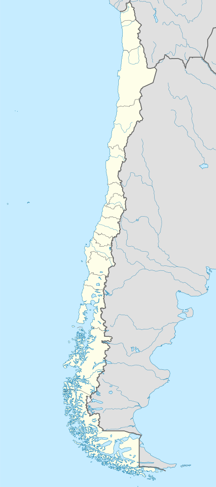
| Map | |||||||||||
 IQQ Location of the airport in Chile | |||||||||||
| Runways | |||||||||||
| |||||||||||
The Iquique VOR-DME (Ident: IQQ) is 9.6 nautical miles (17.8 km) north of the airport. The Diego Aracena non-directional beacon (Ident: R) is located on the field.[4][5]
Airlines and destinations
| Airlines | Destinations |
|---|---|
| Amaszonas | La Paz, Santa Cruz de la Sierra–Viru Viru |
| Andes Líneas Aéreas | Seasonal: Salta |
| JetSmart | Concepción, La Serena, Santiago de Chile |
| LATAM Chile | Santiago de Chile |
| Paranair | Asunción, Salta |
| Sky Airline | Santiago de Chile |
gollark: "i"
gollark: "Ive"
gollark: "Node JS compiler"
gollark: It has a terrible stuff-displayed-to-actual-useful-content ratio.
gollark: Bad.
References
- Airport information for Airport information for SCDA at World Aero Data. Data current as of October 2006.Source: DAFIF.
- Airport information for Diego Aracena International Airport at Great Circle Mapper.
- Airport information for Diego Aracena International Airport at Transport Search website.
- Diego Aracena NDB
- Iquique VOR
External links
- Diego Aracena International Airport at OpenStreetMap
- Diego Aracena International Airport at OurAirports
- Aeronautical chart and airport information for Diego Aracena Airport at SkyVector
- Current weather for Iquique/Diego Aracena Airport at NOAA/NWS
- Accident history for Diego Aracena International Airport at Aviation Safety Network
This article is issued from Wikipedia. The text is licensed under Creative Commons - Attribution - Sharealike. Additional terms may apply for the media files.