Viña del Mar Airport
Viña del Mar Airport (IATA: KNA, ICAO: SCVM) is an airport serving Viña del Mar and Valparaíso, Chile. The airport is in the hills 4 kilometres (2.5 mi) east of the coastal city of Concón.
Viña del Mar Airport | |||||||||||
|---|---|---|---|---|---|---|---|---|---|---|---|
| Summary | |||||||||||
| Airport type | Military/Public | ||||||||||
| Serves | Viña del Mar, Valparaíso | ||||||||||
| Location | Concón | ||||||||||
| Elevation AMSL | 461 ft / 141 m | ||||||||||
| Coordinates | 32°57′00″S 71°28′45″W | ||||||||||
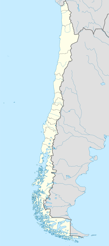
| Map | |||||||||||
 KNA Location of the airport in Chile | |||||||||||
| Runways | |||||||||||
| |||||||||||
Accidents and incidents
On 9 September 2013, A Corpflite Dornier 228, registration CC-CNW crashed into power lines while attempting to land in fog, resulting in the loss of both crew members.[4]
gollark: Anyway, I was vaguely looking at doing maths, physics, computer science, economics, some combination of maths/physics/computer science, or "electronic and computer engineering".
gollark: I don't really *do* video calls.
gollark: I go to a school which does sixth form and other years, for reasons.
gollark: I'll probably finish it at 18 like everyone else!
gollark: Suuuure.
See also


- List of airports in Chile
- Transport in Chile
References
- Airport information for Viña del Mar Airport at World Aero Data. Data current as of October 2006.
- Airport information for Viña del Mar Airport at Great Circle Mapper.
- Google Maps - Vina del Mar
- Corpflite Dornier 228 Crashes On Landing
External links
- Viña del Mar at OpenStreetMap
- Viña del Mar at OurAirports
- Aeronautical chart and airport information for Vina del Mar at SkyVector
- Accident history for Viña del Mar Airport at Aviation Safety Network
- Current weather for Viña del Mar at NOAA/NWS
This article is issued from Wikipedia. The text is licensed under Creative Commons - Attribution - Sharealike. Additional terms may apply for the media files.