Melkoi Rural LLG
Melkoi Rural LLG is a local-level government (LLG) of East New Britain Province, Papua New Guinea.[1][2]
Melkoi Rural LLG | |
|---|---|
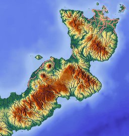 Melkoi Rural LLG Location within Papua New Guinea | |
| Coordinates: 5.99996°S 150.983585°E | |
| Country | Papua New Guinea |
| Province | East New Britain Province |
| Time zone | UTC+10 (AEST) |
Wards
- 01. Makmak
- 02. Waipo
- 03. Simi
- 04. Tavolo
- 05. Meletong
- 06. Uvol
- 07. Einahelei
- 08. Ruachana
- 09. Mininga
- 10. Maso
- 11. Esletenae
- 12. Mainge
- 13. Atu
- 14. Haumakia
- 15. Poio
- 16. Pilematana
- 17. Lausus
- 18. Kenmininga
- 19. Warale
gollark: Yes, that's right, I have a *SMTP to RSS bridge*.
gollark: It's not real critical infrastructure unless you have an accursed diagram.
gollark: I use a likeability inductor.
gollark: The main problem with this is that it's entirely inapplicable to Minecraft mods, because any explanation for how they *work* is just going to be "well, we put code in saying so" and tiny amounts of flavor text.
gollark: Basically, magic is natural law which runs on a different level of abstraction/ontology to real-world physics.
References
- "Census Figures by Wards - Islands Region". www.nso.gov.pg. 2011 National Population and Housing Census: Ward Population Profile. Port Moresby: National Statistical Office, Papua New Guinea. 2014.
- "Final Figures". www.nso.gov.pg. 2011 National Population and Housing Census: Ward Population Profile. Port Moresby: National Statistical Office, Papua New Guinea. 2014.
- OCHA FISS (2018). "Papua New Guinea administrative level 0, 1, 2, and 3 population statistics and gazetteer". Humanitarian Data Exchange. 1.31.9.
- United Nations in Papua New Guinea (2018). "Papua New Guinea Village Coordinates Lookup". Humanitarian Data Exchange. 1.31.9.
This article is issued from Wikipedia. The text is licensed under Creative Commons - Attribution - Sharealike. Additional terms may apply for the media files.